What is recorded here
No surface remains of any enclosure in area marked on OS 6-inch map. Site identified as a cropmark of an enclosure from Air Corps aerial photograph (V 300, 711-22).
Compiled by: Caimin O'Brien
Date of upload: 17 December 2007
The monument record does not grant public access. Check the route and ask the landowner before entering private land.
- What survives
- Recorded monument
Places near here
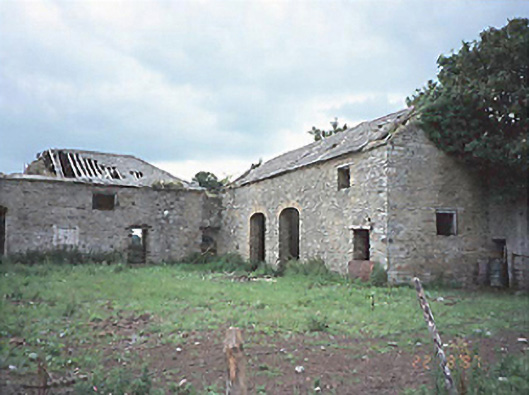 Castlecuffestables · 978 yd
 Castle Cuffe (ruins)Castle · 988 yd
 RaheenFairy fort / earthen ringfort · 1192 yd
 Partiall hachuredBawn · 1392 yd
 Enclosure in CastlecuffeEnclosure · 1690 yd
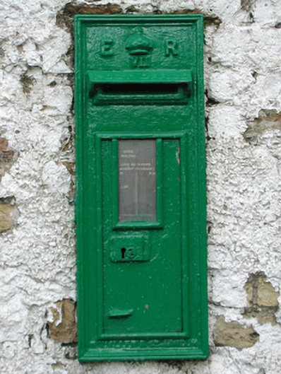 post boxpost box · 1.6 mi
 Church (in Ruins), Graveyard, CarrigeenChurch · 1.8 mi
 Kilmanman church (in Ruins), GraveyardChurch · 1.9 mi
 Giant's Grave LoopWalking route · 3.2 mi
 Slieve Bloom MountainsMountain range · 4.0 mi
 Mullagh HillMountain / peak · 4.1 mi
 Knockhill GroveWood · 4.2 mi