
What is recorded here
Enclosure in Connahy is a lost circular embankment on a Kilkenny terrace, erased when locals levelled the grass in the 1950s. It lay half a kilometre from a ringfort, hidden from maps and memory until a landowner recalled its shape. The story smells of forgotten hands, changing borders and a landscape that keeps its own secrets.
On a terrace between the steep lower E side of the Nore river valley and uplands hills, in rolling grassland. Situated c. 500m SE of a ringfort (KK010-036----). A local landowner described a circular embanked area which was levelled in the 1950s. There is no feature indicated on the 1st (1839) OS 6-inch map or on the 1947 revision, nor is it visible at ground level.
Compiled by: Jean Farrelly
Date of upload: 17 January 2019
The monument record does not grant public access. Check the route and ask the landowner before entering private land.
- What survives
- Recorded monument
Places near here
 Connahy Ringfort (rath)Archaeological place · 101 yd
 CastleCastle, unclassified · 343 yd
 Donaghmore Ringfort (rath)Archaeological place · 677 yd
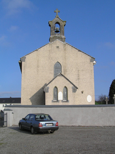 Saint Colman's Catholic Churchchurch/chapel · 1689 yd
 Donaghmore WellSpring · 1705 yd
 presbytery/parochial/curate's housepresbytery/parochial/curate's house · 1.1 mi
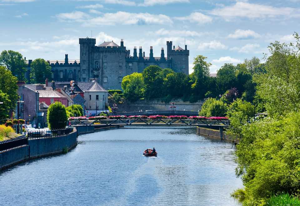 Site of Shanganny CastleCastle, unclassified · 1.2 mi
 Jenkinstown ParkForest · 3.2 mi
 Anker's IslandIsland · 3.7 mi
 Graveyard in ThreecastlesGraveyard · 4.0 mi
 Turkey OakTurkey Oak · 4.2 mi
 Emma Jane Browne-ClaytonMemorial · 4.7 mi
Other information
Photo: Credit not shown in the picture search · Rights wording not checked; contact us if this picture should be removed