
What is recorded here
Lissaghbaun/Liosach Bán: Situated on a steep SE facing slope about 75m from a small stream, at the NE end of the Lateevemore ridge. On the 1st edition of the OS map the site was shown as a circular enclosure with a clochaun in its W sector. On the 2nd edition it is marked 'site of’. There is now no trace of the enclosure, nor does the steep hillside appear to have been terraced to accomodate such a feature.
The roughly circular clochaun measures 3.67 to 3.85m in diameter internally and the wall is for the most part reduced to a mound of stone collapse, 2.2 to 3m wide. The drystone-built wall facing is preserved only at the N jamb of the entrance and for 2 short stretches internally. It is a maximum of 1.03m in height. The floor of the structure was excavated into the steep hillslope and now lies .48m below the external ground level on the uphill side. The entrance at ENE is .7m wide and 1.3m long. The approach to the entrance is flanked on either side by collapsed drystone-walling which defines a small court or yard measuring 3m ENE-WSW and 2.85m WNW-ESE.
The above description is derived from J. Cuppage, ‘Corca Dhuibhne. Dingle Peninsula archaeological survey. Ballyferriter. Oidhreacht Chorca Dhuibhne’ (1986), no. 659. In certain instances the entries have been revised and updated in the light of recent research.
Date of upload: 7 August 2013
A local fairy fort (ringfort/rath); wider significance not recorded.
The monument record does not grant public access. Check the route and ask the landowner before entering private land.
- What survives
- Recorded monument
Places near here
 Man-made underground passage in Com GaMan-made underground passage · 203 yd
 ToberagilladuffHoly well · 760 yd
 Binn BreacMountain / peak · 806 yd
 Templemanaghan (Oratory)Church · 1309 yd
 Gallarus OratoryHeritage attraction · 1609 yd
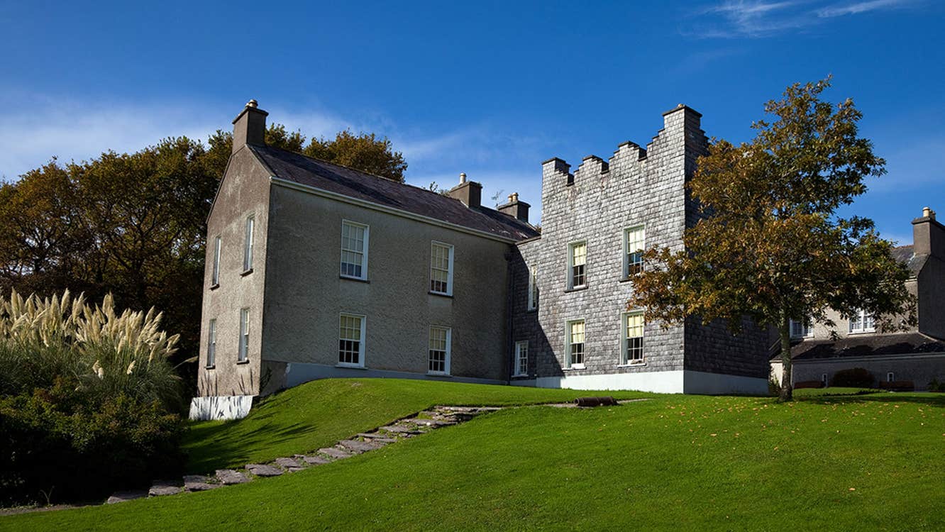 Chancellors House (in ruins)Building · 1.2 mi
 Gallarus CastleCastle · 1.3 mi
 Gallarus Castle (in ruins)Castle, tower house · 1.3 mi
 An Chathair AirdMountain / peak · 1.9 mi
 Riasc Monastic SettlementHeritage attraction · 2.4 mi
 Trá an FhíonaBeach / strand · 2.5 mi
 Charles HaugheyMemorial · 3.0 mi
Other information
Photo: Credit not shown in the picture search · Rights wording not checked; contact us if this picture should be removed