What is recorded here
Located c. 80m S of KE087-015---- and not marked on the OS maps, this site survives as an earthen bank which encloses a subcircular area, 10m N-S x 11m E-W. The bank has an external height of .65m and rises .55m internally. Its basal width varies from 1m to 2.1m. The bank is highest and widest along the S side of the site. It is gapped in several places but none of these appear to represent an entrance.
The above description is derived from A. O'Sullivan and J. Sheehan (compilers), 'The Iveragh peninsula: an archaeological survey of South Kerry'. Cork University Press (1996), no. 723. In certain instances the entries have been revised and updated in the light of recent research.
Date of upload: 30 July 2013
The monument record does not grant public access. Check the route and ask the landowner before entering private land.
- What survives
- Recorded monument
Places near here
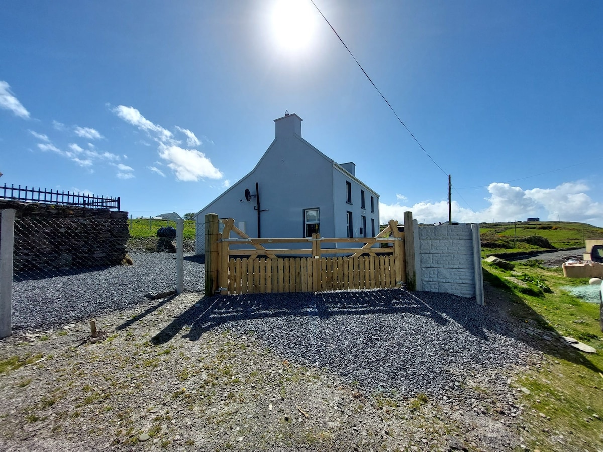 Enclosure in Coarha MoreEnclosure · 79 yd
 Skellig Experience CentreMuseum · 696 yd
 Church in Illaunloughan,portmageeChurch · 876 yd
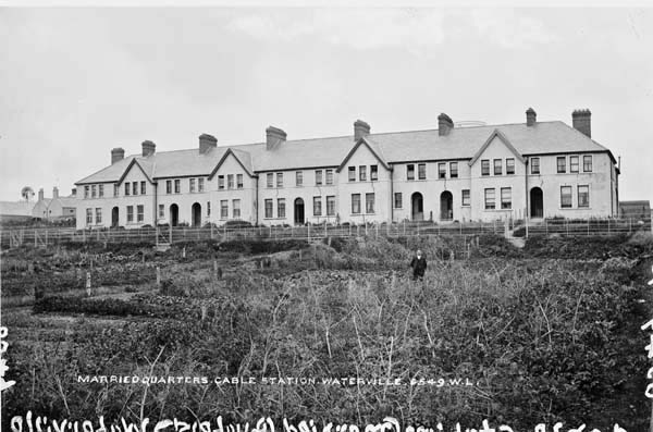 Anglo American Cable House, Telegraph FieldMonument · 1125 yd
 Telegraph Field Valentia IslandMemorial · 1235 yd
 Cromwell's FortRuins · 1288 yd
 ValentiaIsland · 1.2 mi
 Horse IslandIslet · 1.3 mi
 Culloo RockViewpoint · 1.6 mi
 Beehive CellsHeritage attraction · 1.8 mi
 Fogher CliffCliff · 2.2 mi
 GeokaunMountain / peak · 2.3 mi