What is recorded here
In pasture on E-facing slope. Not depicted on the OSi maps. Identified by Archaeological Survey of Ireland through examination of ASIAP aerial photography (SMR File). The site is clearly visible as a circular-shaped cropmark (approx. diam. 30m), representing a levelled enclosure, on Google Earth orthoimage taken 20/10/2010.
See attached ASIAP and Google Earth orthoimages
Compiled by: Martin Fitzpatrick
Date of upload: 15 July 2020
The monument record does not grant public access. Check the route and ask the landowner before entering private land.
- What survives
- Recorded monument
Places near here
 Fulacht fia in CloonyclohassyFulacht fia · 582 yd
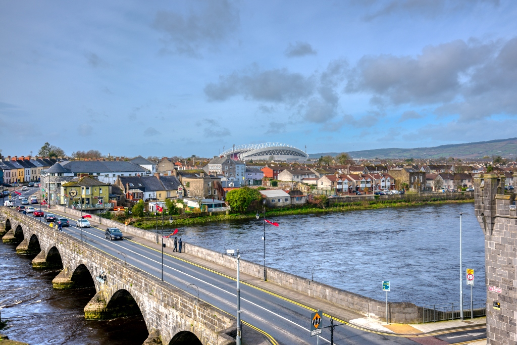 KnockourhaArchaeological place · 615 yd
 Castle (Site of)Castle, unclassified · 1572 yd
 Waterpark Housecountry house · 1669 yd
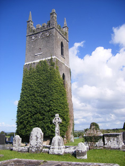 Shanagolden Churchchurch/chapel · 1.2 mi
 Shanid Castle (in ruins)Castle, Anglo-Norman masonry castle · 1.2 mi
 Monterey CypressMonterey Cypress · 2.7 mi
 Foynes Flying Boat & Maritime MuseumMuseum · 3.0 mi
 Foynes Island ViewpointViewpoint · 3.2 mi
 Gammarel PointHeadland · 3.6 mi
 Battery PointHeadland · 3.7 mi
 Foynes IslandIsland · 3.7 mi