What is recorded here
Situated on a fairly level landscape. A geophysical survey (19R0147) disproved the presence of an archaeological enclosure (RO011-153----) but identified a possible rectangular enclosure (dims c. 30m N-S; c. 25m plus) in the SE corner of the field (Leigh 2019). This is defined by a ditch feature at W and a low bank at N that might be part of an unmapped field system and could extend into neighbouring fields.
Compiled by: Michael Moore
Date of upload: 21 August 2019
The monument record does not grant public access. Check the route and ask the landowner before entering private land.
- What survives
- Recorded monument
Places near here
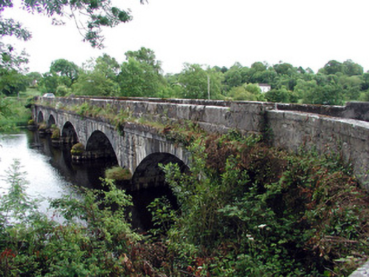 Jamestown Bridgebridge · 336 yd
 Jamestown Housegate lodge · 394 yd
 IndicatedFairy fort / earthen ringfort · 444 yd
 Enclosure in JamestownEnclosure · 636 yd
 Patrick Gill Memorial Plaque (IRA)Monument · 1204 yd
 Robert Strawbridge MemorialMemorial · 1336 yd
 Wildlife AreaNature reserve · 1342 yd
 Site of Dangan CastleCastle, unclassified · 2.0 mi
 Moon RiverHeritage attraction · 3.1 mi
 InishmoylinIslet · 4.0 mi
 Coarse IslandForest · 4.2 mi
 Dockery's IslandIslet · 4.3 mi