What is recorded here
On an elevated area, in the plot of a bungalow and abutting woodland to ENE. Depicted on the 25-inch OS map and the 1921 edition of the OS 6-inch map as a circular enclosure (c. 26m NE-SW; 25m NW-SE) defined by a single enclosing element. A field boundary is depicted on the top of the enclosing elements NE-SE. A bungalow occupies the area of the monument, off-centre to SW and the remainder of the monument interior is located within the rear garden. A garden shed is located in the E sector of the interior. An arc (C 25m) of collapsed drystone wall (int. H 0.5m; ext. H 0.45m; Wth at top 0.7m; overall Wth 2.5m) follows the line of the enclosing elements NE-E-SE and forms a boundary between the garden and the native woodland. The boundary is distinctively curvilinear at this point and in contrast it is linear at either side where it continues to form the remainder of the rear boundary. A lot of modern debris is banked up along the inside and top of the field boundary and a lot of vegetation and modern debris is located on the exterior. For this reason, it is not feasible to measure the enclosing elements which appear to be a collapsed stone wall which exists NE-E-SE. There is no trace of this monument in the house plot, except where the remains of the enclosing elements are located below the existing field boundary NE-E-SE.
The following images have been uploaded:
CL035-100----_01.jpg From N. Oblique cross-sectional view of possible enclosing elements to NNE.
CL035-100----_02.jpg From NW. View of supposed centre point marking interior of monument.
CL035-100----_03.jpg From S. Possible field boundary outside arc of bank.
CL035-100----_04.jpg From E. General view of monument from woodland aspect.
Compiled by: Mary Tunney, Alison McQueen and Vera Rahilly
Date of upload: 10 April 2018
This remains an important historical record, but the official description says the monument is no longer visible or has been destroyed. The monument record does not grant public access. Check the route and ask the landowner before entering private land.
- What survives
- No visible remains or recorded as destroyed
Places near here
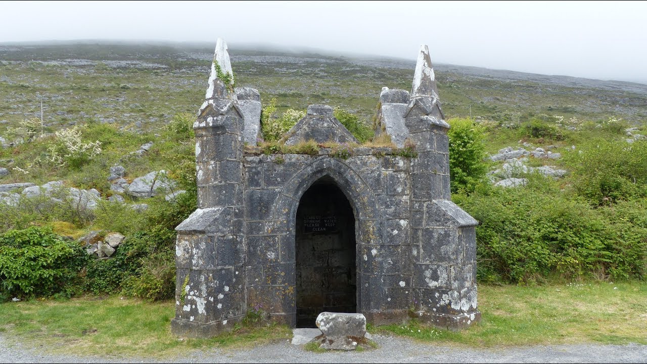 Enclosure in Cloonaherna,gorteen (dangan Ed)Enclosure · 449 yd
 Castle in ruinsCastle, unclassified · 541 yd
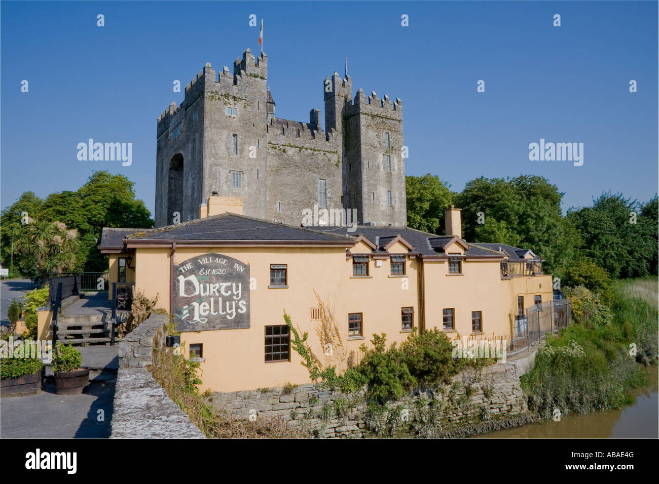 IndicatedEnclosure · 668 yd
 Cullan Castlecountry house · 906 yd
 The RingfortHeritage attraction · 1112 yd
 Cloghleagh RockNamed rock · 1155 yd
 CraggaunowenNationally known place · 1210 yd
 Craggaunowen CastleCastle, tower house · 1218 yd
 Shankill Church (in ruins)Church · 1744 yd
 islandWood · 3.7 mi
 Mooghaun WoodsWood · 4.6 mi
 Mass RockMemorial · 4.9 mi