What is recorded here
Noted by McCaffrey (1952, 225-6, Site no. 138) to the N of a cashel (GA104-117001-) and described as an 'elliptical enclosure of 90' [27.4m] x 58' [17.7m]. The bank is 8' [2.44m] wide and 2' [ 0.6m] high with some stones embedded in the earth'. Extensive land clearance has occurred in the area and no visible surface trace of the monument survives. There was another similar enclosure (GA104-117003-) to the E of the cashel.
Compiled by: Galway Archaeological Survey, UCG
Date of upload: 29 November 2017
The monument record does not grant public access. Check the route and ask the landowner before entering private land.
- What survives
- Recorded monument
Places near here
 Cloghroak Castle (in ruins)Castle, tower house · 573 yd
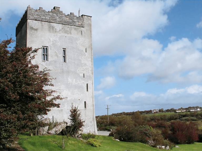 IndicatedFairy fort / stone ringfort · 1377 yd
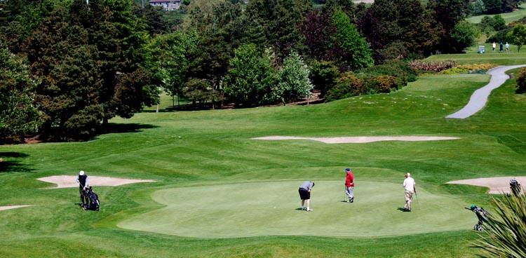 Field system in Ballybaun (dunkellin By.)Field system · 1422 yd
 MonksfieldCountry house · 1654 yd
 Ardnamoran ChurchChurch · 1.3 mi
 Castle (in ruins)Castle, Anglo-Norman masonry castle · 2.4 mi
 Drumharsna CastleHeritage attraction · 4.2 mi
 HawthornHawthorn · 4.9 mi
 European ashEuropean ash · 4.9 mi
 Mulroney's IslandIslet · 7.8 mi
 Mweenish PointHeadland · 8.6 mi
 Traught BeachBeach / strand · 9.3 mi