What is recorded here
Noted by McCaffrey (1952, 225-6, Site no. 138) to the E of a cashel (GA104-117001-) and described as 'an elliptical enclosure of 197' [60m] x 143' [43.6m]. The surrounding bank is 8' [2.44m] wide and 1'6" [0.45m] high. Some stones are embedded in this bank'. Extensive land clearance has occurred in the area and no visible surface trace of the monument survives. There was another similar enclosure (GA104-117004-) to the N of the cashel.
Compiled by: Galway Archaeological Survey, UCG
Date of upload: 29 November 2017
The monument record does not grant public access. Check the route and ask the landowner before entering private land.
- What survives
- Recorded monument
Places near here
 Cloghroak Castle (in ruins)Castle, tower house · 573 yd
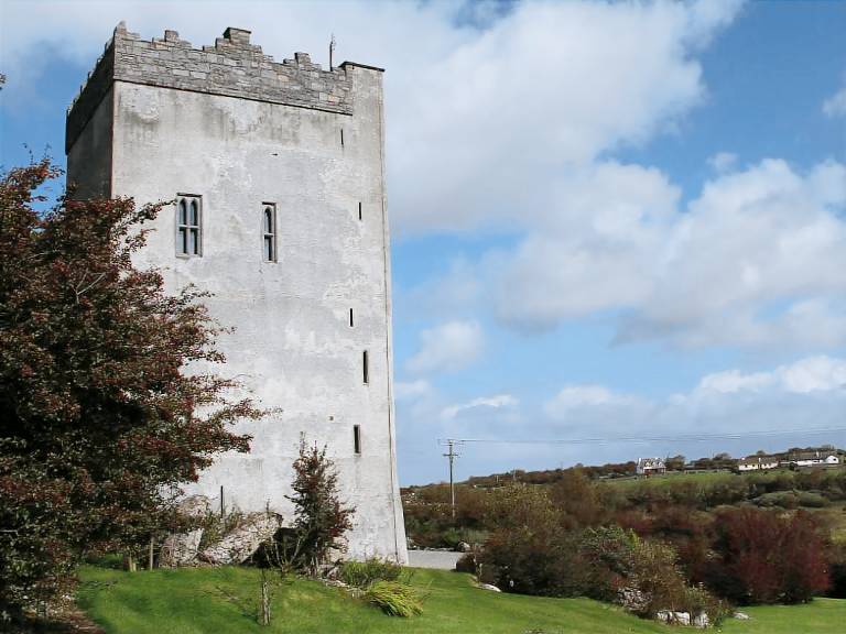 IndicatedFairy fort / stone ringfort · 1377 yd
 Field system in Ballybaun (dunkellin By.)Field system · 1422 yd
 MonksfieldCountry house · 1654 yd
 Ardnamoran ChurchChurch · 1.3 mi
 Castle (in ruins)Castle, Anglo-Norman masonry castle · 2.4 mi
 Drumharsna CastleHeritage attraction · 4.2 mi
 HawthornHawthorn · 4.9 mi
 European ashEuropean ash · 4.9 mi
 Mulroney's IslandIslet · 7.8 mi
 Mweenish PointHeadland · 8.6 mi
 Traught BeachBeach / strand · 9.3 mi