
What is recorded here
Clogharoasty holds a vast subcircular enclosure where two faint banks and a hidden ditch wrap eighty metres of scrubland. A later rath sits upon its northeast quadrant, proving the ground has carried human ambition across several ages. The townland boundary cuts through the monument, reminding us that human ownership often ignores the older shapes buried beneath it.
In undulating scrubland. This large subcircular enclosure (c. 80m NW-SE; c. 78m E-W) is defined by two poorly preserved banks and an intervening fosse from ENE to SSE;; elsewhere a low irregular scarp forms the enclosing element. However, the outline of the fosse is clearly visible the on OSI aerial photographs. The townland boundary cuts through the monument at N and SSE. A rath (GA106-050----) overlies its NE quadrant.
Compiled by: Galway Archaeological Survey, UCG
Date of upload: 27 November 2017
The monument record does not grant public access. Check the route and ask the landowner before entering private land.
- What survives
- Recorded monument
Places near here
 Quarry in Carrowmore (bracklagh Ed )Quarry · 1541 yd
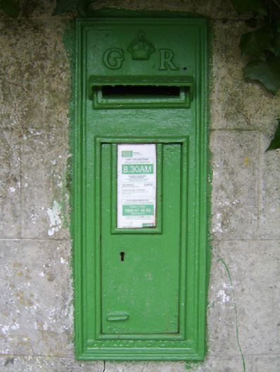 post boxpost box · 1586 yd
 St. Brendans WellHoly well · 1714 yd
 Enclosure in KilcoolyEnclosure · 1751 yd
 Kilcooly Castle (in ruins)Castle, tower house · 1.2 mi
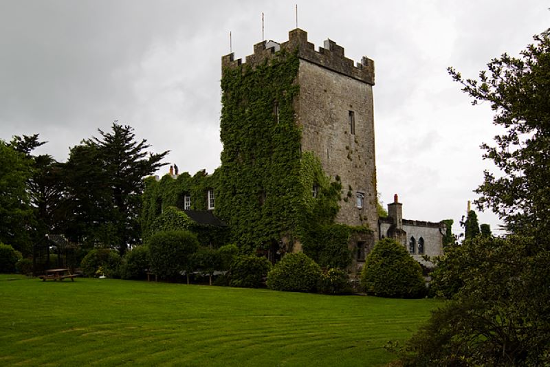 CastleCastle, unclassified · 1.3 mi
 Dartfield Horse MuseumHeritage attraction · 3.1 mi
 Quarryhill WoodWood · 4.5 mi
 Stone Islands SouthIslet · 4.7 mi
 Long PointHeadland · 4.8 mi
 Bog WoodForest · 5.0 mi
 Turoe StoneHeritage attraction · 6.8 mi
Other information
Photo: Credit not shown in the picture search · Rights wording not checked; contact us if this picture should be removed