What is recorded here
On the S-facing slope in undulating pasture. Identified on an aerial photograph (CUCAP July 1970 BDR 79) as a roughly circular cropmark (diam. c. 34m N-S). The bank in the S, W and N quadrants are still faintly visible as scarp, in the S sector this is 0.57m H. The enclosure was under tillage in 1970.
Compiled by: Jean Farrelly
Date of upload: 26 August 2011
The monument record does not grant public access. Check the route and ask the landowner before entering private land.
- What survives
- Recorded monument
Places near here
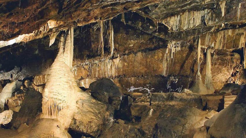 CaveMan-made underground passage · 884 yd
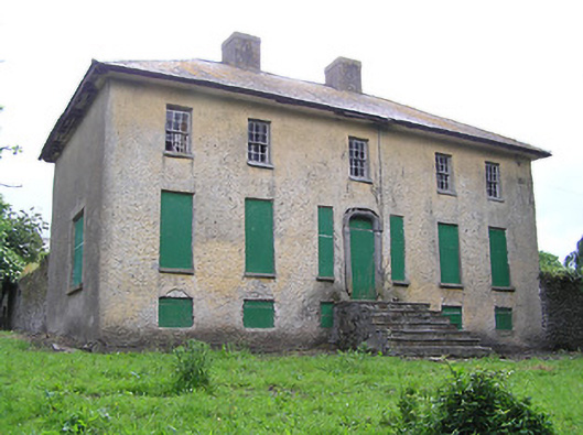 Lacken Househouse · 984 yd
 Enclosure in ArdfinnanEnclosure · 1266 yd
 IndicatedRoad, road/trackway · 1269 yd
 Site of Clocully CastleCastle, unclassified · 1.3 mi
 Woodcock HillMountain / peak · 1.9 mi
 Ballindoney Castle (in ruins)Castle, tower house · 2.1 mi
 European long distance path E8 - part IrelandWalking route · 2.7 mi
 Hybrid Black PoplarHybrid Black Poplar · 3.3 mi
 Kildanogue wildfowl sanctuary and nature reserveNature reserve · 3.4 mi
 Roche's HillMountain / peak · 4.3 mi
 The VeeViewpoint · 4.8 mi