What is recorded here
In pasture. Slightly raised oval area (dims c. 21m WNW-ESE; c. 30m ENE-WSW) defined by very slight scarp (H c. 0.25m). Interior level. External fosse (infilled) visible WNW-NW (Wth c. 2m; D c. 0.5m). Possible enclosure (TS067-088----) c. 310m to NNW and enclosure (TS067-013002-) c. 520m to NW.
Compiled by: Jean Farrelly
Date of upload: 26 August 2011
The monument record does not grant public access. Check the route and ask the landowner before entering private land.
- What survives
- Recorded monument
Places near here
 Sunday WellHoly well · 224 yd
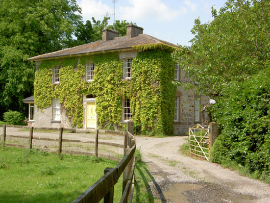 Wolfsden Househouse · 1390 yd
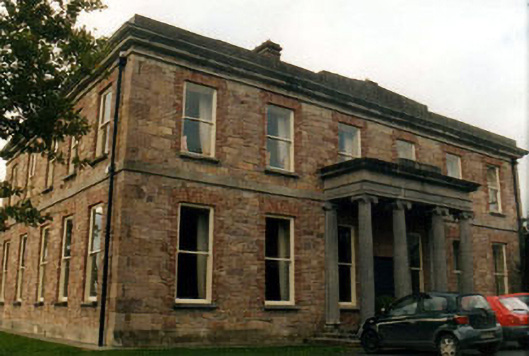 Kilshanecountry house · 1436 yd
 Enclosure in SpringhouseEnclosure · 1542 yd
 European ashEuropean ash · 1601 yd
 Dromline CastleCastle · 1621 yd
 CastleCastle, ringwork · 1.0 mi
 I.R.A. 3rd. Tipperary Brigade MemorialMemorial · 1.4 mi
 Bansha ForestForest · 2.0 mi
 It's a long way to TippereryHeritage attraction · 2.0 mi
 The Maid of ErinMemorial · 2.2 mi
 The RockViewpoint · 3.0 mi