What is recorded here
Described in Grogan and Kilfeather (1997, 81, no. 498) as 'Situated on a gentle NE-facing slope. Circular area (diam. c. 15m) defined by a fosse visible as a cropmark on aerial photograph (CUCAP, BGE 83). Immediately S of WI013-007001-. Not visible at ground level.'
Subsequent archaeological excavation (Licence No. 04E0744) revealed a 5th-6th century penannular enclosure (WI013-007001-) (diam. 26m), which was partially cut by a larger 13th-14th century enclosure (WI013-007002-) (diam. c. 42m) with a SE facing entrance. (Molloy 2007, 27-44; Molloy 2009, 149-155)
Compiled by: Claire Breen
Date of upload: 15 January 2012
The monument record does not grant public access. Check the route and ask the landowner before entering private land.
- What survives
- Recorded monument
Places near here
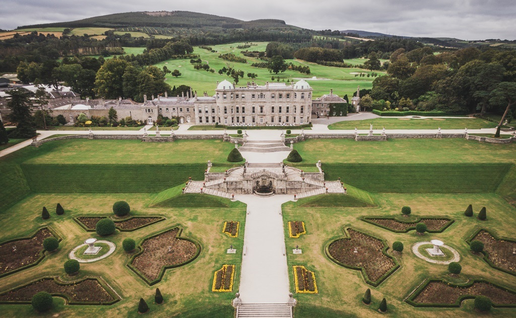 Enclosure in CharleslandEnclosure · 20 yd
 Church (in Ruins)Church · 923 yd
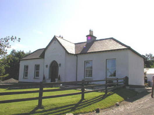 The Prioryhouse · 1062 yd
 Enclosure in Ballynerrin (newcastle By., Kilcoole Ed)Enclosure · 1116 yd
 TuliptreeTuliptree · 1405 yd
 Glenroe FarmHeritage attraction · 1594 yd
 Greystones South BeachBeach / strand · 1.2 mi
 Delgany Heritage TrailWalking route · 1.3 mi
 Kindlestown Castle (in ruins)Castle, hall-house · 1.5 mi
 The CoveBeach / strand · 1.6 mi
 SycamoreSycamore · 2.1 mi
 Greystones WayWalking route · 2.4 mi