
What is recorded here
Little remains of the roughly oval univallate enclosure marked on the OS maps. Its S and W sides are now defined by straight field walls. The S wall curves NE around the SE section of the site, following the line of the original bank or wall, and this curving outline is continued around the NE section by a low mound. The enclosure was c.31m in internal diameter. Situated on the lower S slopes of Mount Eagle.
The above description is derived from J. Cuppage (compiler) 'Corca Dhuibhne. Dingle Peninsula archaeological survey.' Ballyferriter. Oidhreacht Chorca Dhuibhne (1986), no. 642. In certain instances the entries have been revised and updated in the light of recent research.
Date of upload: 29 May 2013
The monument record does not grant public access. Check the route and ask the landowner before entering private land.
- What survives
- Recorded monument
Places near here
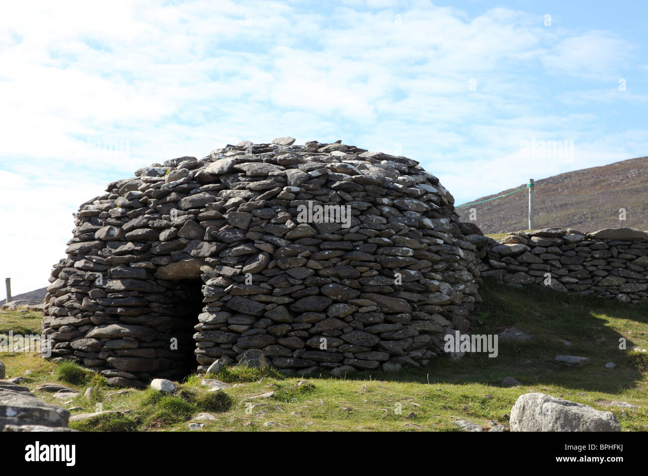 Hut site in Cathair BoilgHut site · 224 yd
 Enclosure in Cill Mhic An DomhnaighEnclosure · 257 yd
 Irish Famine CottagesMuseum · 1343 yd
 Dunbeg FortHeritage attraction · 1451 yd
 Church in Cill Ura ThoirChurch · 1720 yd
 Ventry Church (in ruins)Church · 1.2 mi
 Sliabh an IolairMountain / peak · 1.3 mi
 Binn an ChomaMountain / peak · 1.7 mi
 Trá Ciarán BeachBeach / strand · 1.7 mi
 Rahinnane Castle (in ruins)Castle, tower house · 2.1 mi
 Ceann SléibheHeadland · 2.5 mi
 Faill BearnaiscCliff · 2.5 mi
Other information
Photo: Credit not shown in the picture search · Rights wording not checked; contact us if this picture should be removed