
What is recorded here
Enclosure in Castlewarden North is a medieval earthwork complex where a motte and bailey sit at the centre of small fields enclosed by fosses, spanning roughly 120m by 110m around the mound. The golf course built there has smoothed and hidden much of the shape, but the registered monument still marks the place where people once divided land, kept animals, and lived under the shadow of a fortress. What remains is a quiet reminder that even when grass and sand cover the marks, the ground still holds the discipline of hands that shaped it.
An aerial photograph (GSI N 397-8) shows Castlewarden motte and bailey (KD015-009001-) at the centre of a series of low earthworks: radiating off the bailey is a system of small fields enclosed by fosses, while a large area (est. dims L c. 120m E-W; Wth c. 110m) extending N, S and W of the motte is apparently defined by a fosse. The subsequent creation of Castlewarden Golf and Country Club on the site, has altered and obscured these features. Registered as a Historic Monument (Medieval Earthwork Complex) on 19-July-1976.
Compiled by: Gearóid Conroy
Date of upload: 10 June 2011
The monument record does not grant public access. Check the route and ask the landowner before entering private land.
- What survives
- Recorded monument
Places near here
 Castlewarden MoatCastle, motte and bailey · 53 yd
 Enclosure in BlackchurchEnclosure · 1084 yd
 Oughterard CastleCastle · 1532 yd
 Arthur Guinness GraveMemorial · 1747 yd
 Oughterard Round TowerHeritage attraction · 1749 yd
 Enclosure in HuttonreadEnclosure · 1.0 mi
 Common LimeCommon Lime · 1.2 mi
 Cullen's Hill WoodWood · 1.4 mi
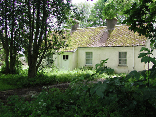 The Cottagehouse · 1.5 mi
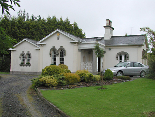 Steelstown Lodgegate lodge · 1.5 mi
 Athgoe HillMountain / peak · 2.1 mi
 Saint Finian's WellSpring · 2.6 mi
Other information
Photo: Credit not shown in the picture search · Rights wording not checked; contact us if this picture should be removed