
What is recorded here
Situated on the flat floodplains of the Black River with enclosure site (TN036-045) to the N. Not visible at ground level. Probably removed when the field boundary that intersected the site was removed during land improvement.
The above description is derived from 'The Archaeological Inventory of County Tipperary. Vol. 1 - North Tipperary' compiled by Jean Farrelly and Caimin O'Brien (Dublin: Stationery Office, 2002). In certain instances the entries have been revised and updated in the light of recent research.
Date of upload/revision: 22 September 2008
The monument record does not grant public access. Check the route and ask the landowner before entering private land.
- What survives
- Recorded monument
Places near here
 Bawn in Castletown (moyne Par.)Bawn · 346 yd
 Enclosure in Castletown (moyne Par.)Enclosure · 419 yd
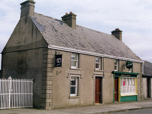 Mullanyhouse · 1.2 mi
 Castle (in Ruins)Bawn · 1.2 mi
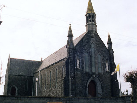 Saint Mary's Catholic Churchchurch/chapel · 1.3 mi
 Fulacht fia in CooleenyFulacht fia · 1.4 mi
 European ashEuropean ash · 5.3 mi
 St. Mary's Famine and War MuseumMuseum · 5.5 mi
 Famine & War MuseumMuseum · 5.6 mi
 Byrnes's WoodsForest · 6.0 mi
 Horse and JockeyVisitor information · 8.1 mi
 Gobban Saer's GraveArchaeological place · 8.8 mi
Other information
Photo: Credit not shown in the picture search · Rights wording not checked; contact us if this picture should be removed