What is recorded here
Discovered during an aerial photographic survey in August 1995 by Dr. Gillian Barrett. Aerial photograph (GB95.FT.10) shows the cropmark of an irregular curvilinear enclosure defined by a fosse; one of two conjoined enclosures (KD039-049----). (Barrett 2002, 1-30)
Compiled by: Dr. Gillian Barrett
Date of upload: 12 December 2011
The monument record does not grant public access. Check the route and ask the landowner before entering private land.
- What survives
- Recorded monument
Places near here
 Enclosure in Castleroe EastEnclosure · 314 yd
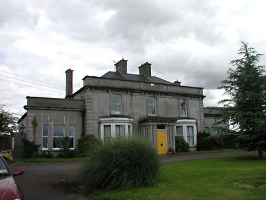 Castleroe Lodgefarm house · 423 yd
 CastleCastle, tower house · 448 yd
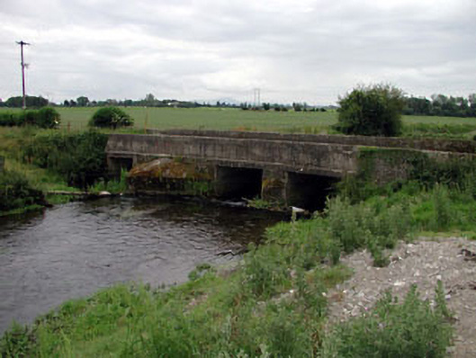 Levitstown Bridgebridge · 705 yd
 Enclosure in Maganey LowerEnclosure · 1.1 mi
 Lorcán Ó TuathailMemorial · 1.9 mi
 Castle in ruinsCastle, unclassified · 1.9 mi
 Mullaghreelan WoodForest · 2.2 mi
 ProclamationMemorial · 2.7 mi
 Franciscan FriaryHeritage attraction · 3.0 mi
 Castledermot Round TowerHeritage attraction · 3.0 mi
 Oak Park Forest ParkWood · 3.3 mi