
What is recorded here
Circular enclosed feature indicated on the 1838 OS 6-inch map (map dims. diam. c. 23m). Not indicated on the later editions of the OS maps and nothing visible at ground level when inspected by ASI in 1990 at which stage area was in dense forestry.
Compiled by: Claire Breen
Date of upload: 17 September 2013
A local fairy fort (ringfort/rath); wider significance not recorded.
The monument record does not grant public access. Check the route and ask the landowner before entering private land.
- What survives
- Recorded monument
Places near here
 Site of CastleCastle, unclassified · 318 yd
 Castlemacadam Church (Site of), G.Yd.Church · 347 yd
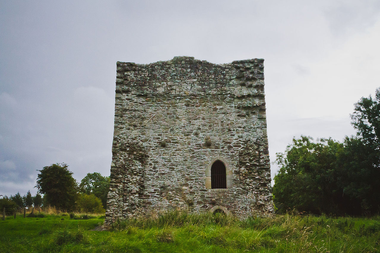 Ecclesiastical enclosure in CastlemacadamEcclesiastical enclosure · 423 yd
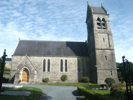 Holy Trinity Church (Castlemacadam)church/chapel · 514 yd
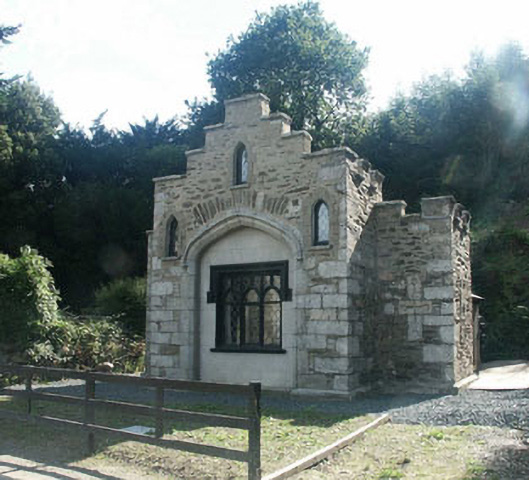 Ballyarthur Housegate lodge · 842 yd
 Sweet ChestnutSweet Chestnut · 1549 yd
 Scots PineScots Pine · 1.1 mi
 Woodenbridge World War One MemorialMemorial · 1.3 mi
 Meeting of the WatersHeritage attraction · 2.5 mi
 Viewing TowerHeritage attraction · 4.3 mi
 Castle (in ruin)Castle, Anglo-Norman masonry castle · 4.5 mi
 Battle of Arklowbattle · 4.6 mi
Other information
Photo: Credit not shown in the picture search · Rights wording not checked; contact us if this picture should be removed