What is recorded here
Situated in low-lying level wet pasture. D-shaped area (dims. 20m ENE-WSW; 16m NNW-SSE) enclosed by the denuded footings of a drystone wall (Wth 1.1m; H 0.1m). No fosse is visible at ground level. From SW-E the area is enclosed by the curving footings of the drystone wall. The S side of the site is defined E-SW by the footings of a linear ENE-WSW orientated post-medieval drystone wall. The position of the original entrance is not recognisable.
Compiled by: Patrick F. O'Donovan
Date of upload: 21 April 2011
The monument record does not grant public access. Check the route and ask the landowner before entering private land.
- What survives
- Recorded monument
Places near here
 IndicatedFairy fort / stone ringfort · 342 yd
 CashelnamaddaFairy fort / stone ringfort · 966 yd
 Church (in Ruins)Church · 1245 yd
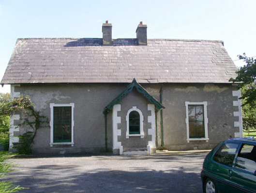 Denver Lodgehouse · 1.4 mi
 BenwiskinMountain / peak · 1.5 mi
 Gleniff Horseshoe DriveViewpoint · 1.8 mi
 Gleniff Horseshoe Drive 2Viewpoint · 1.9 mi
 Benwiskin South TopMountain / peak · 2.1 mi
 Creevykeel Court TombNeolithic court tomb · 2.3 mi
 Trawalua StrandBeach / strand · 2.5 mi
 Dermot & Grania's BedCave · 2.6 mi
 Classiebawn WoodsWood · 2.8 mi