What is recorded here
Google Earth reveals a sharp rectangular enclosure beside the ancient ringfort, suggesting human hands shaped the land long before satellites existed. The geometry defies casual dismissal because straight edges rarely emerge from nature alone. You can picture people measuring, marking and building there, perhaps keeping livestock, growing food or protecting something valuable. The enclosure still waits for witness, preserved in shadow and distance.
This is a rectalinear enclosure evident on Google Earth c. 4om SE of ringfort (LI015-037----).
Compiled by: Denis Power
Date of upload: 4 July 2013
The monument record does not grant public access. Check the route and ask the landowner before entering private land.
- What survives
- Recorded monument
Places near here
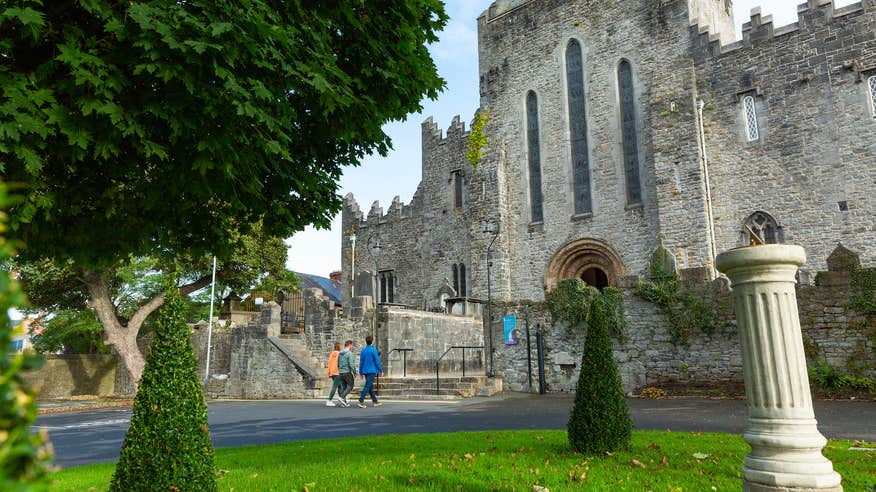 IndicatedFairy fort / earthen ringfort · 83 yd
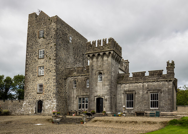 Enclosure in CastlegardeEnclosure · 214 yd
 Castle Gardecountry house, castle/fortified house · 639 yd
 Blackboy Bridgebridge · 1693 yd
 CastleCastle, unclassified · 1.8 mi
 Tower HillCastle, unclassified · 1.8 mi
 ToberagaddySpring · 2.8 mi
 KnockseefinMountain / peak · 3.8 mi
 Slieve FelimMountain / peak · 4.9 mi
 Sliev Felim WayVisitor information · 5.2 mi
 Graveyard in AbingtonGraveyard · 5.4 mi
 St. Patrick's WellSpring · 6.6 mi