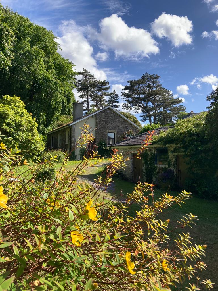
What is recorded here
Castlefarm holds a ghost circle above ordinary pasture, visible only when viewed from height. The ground keeps its own counsel, hiding the enclosure beneath grass and rain. What was built there has returned to soil, leaving behind a shape that appears only in shadow and distance.
In level pasture. A circular feature, on the N side of an E-W field boundary, is visible in an aerial photograph (GSIAP, Q 203). This possible enclosure is not visible at ground level. (Castleisland District Archaeological Survey)
Compiled by: Elizabeth Byrne, Ursula Egan and Sheila Ronan, Archaeological Survey Unit, University College, Cork.
Date of upload: 31 January 2011
The monument record does not grant public access. Check the route and ask the landowner before entering private land.
- What survives
- Recorded monument
Places near here
 CastleCastle, ringwork · 675 yd
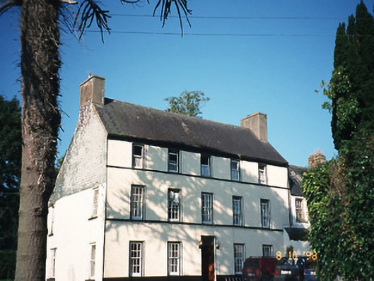 Castlefarmhouse · 706 yd
 Site of CourtCastle, unclassified · 803 yd
 Molahiffe Church (in rRuins)Church · 831 yd
 Partially indicatedEcclesiastical enclosure · 1333 yd
 Enclosure in BohereensEnclosure · 1748 yd
 Ballygamboon Forest Recreation AreaWood · 3.8 mi
 Common AlderCommon Alder · 5.1 mi
 Scotia's GraveArchaeological place · 5.5 mi
 Aghadoe Early Medieval Ecclesiastical SiteHeritage attraction · 7.9 mi
 CruslineMountain / peak · 8.6 mi
 Famine MemorialMemorial · 9.0 mi
Other information
Photo: Credit not shown in the picture search · Rights wording not checked; contact us if this picture should be removed