
What is recorded here
Visible on a 1965 aerial photograph (CUCAP ALV 10) as the cropmark of a circular area (est. max. diam. c. 35m) through the W portion of which a small stream flows. On level pasture at the foot of the long, gentle, E-facing slope of a N-S ridge. The monument survives as a small, poorly preserved, D-shaped area (int. diam. 25m E-W) with a straight W side (int. L 20m) defined by a low scarp (max. H 0.8m) NW-SSW. A small S-flowing stream has been recut as a field drain and truncates the monument SSW-NW.
Compiled by: Gearóid Conroy
Date of upload: 10 June 2011
The monument record does not grant public access. Check the route and ask the landowner before entering private land.
- What survives
- Recorded monument
Places near here
 CastleCastle, tower house · 464 yd
 Enclosure in Castlebrown OR ClongowesEnclosure · 487 yd
 Burial GroundRuins · 721 yd
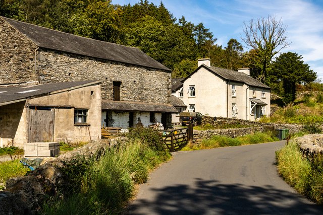 Mainham ForgeArchaeological place · 887 yd
 Queen Buans GraveCastle, motte and bailey · 1028 yd
 1798 Rebellion MemorialMemorial · 1.0 mi
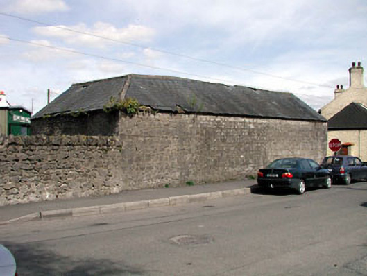 outbuildingoutbuilding · 1.1 mi
 Venerable Fr John Sullivan MemorialMemorial · 1.3 mi
 Dunne's IslandWood · 1.5 mi
 Loughtown CovertWood · 2.3 mi
 Grand Canal WayWalking route · 2.8 mi
 The Kildare MazeHeritage attraction · 3.2 mi
Other information
Photo: Credit not shown in the picture search · Rights wording not checked; contact us if this picture should be removed