What is recorded here
Within an enclosure (SL012-089001-). Oval or subrectangular area (23m E–W; 13m N–S) defined by an inward-facing scarp. The interior is 0.4m below exterior ground level. It occupies most of the interior space in the N half of the larger enclosure (SL012-089001-).
Compiled by: Jane O’Shaughnessy
Date of upload: 10 May 2013
The monument record does not grant public access. Check the route and ask the landowner before entering private land.
- What survives
- Recorded monument
Places near here
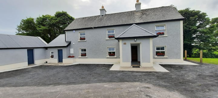 IndicatedFairy fort / earthen ringfort · 738 yd
 Man-made underground passage in CarrowcaslanMan-made underground passage · 779 yd
 Skreen Schoolschool · 1473 yd
 Skreen Churchchurch/chapel · 1617 yd
 Dunmoran StrandBeach / strand · 1.1 mi
 Aughris BeachBeach / strand · 1.2 mi
 CastleCastle, Anglo-Norman masonry castle · 1.6 mi
 Aughris HeadHeadland · 2.1 mi
 Bawn in CarrowbrickeenBawn · 3.3 mi
 Knockalongy North-East TopMountain / peak · 3.6 mi
 Derkmore PointHeadland · 3.8 mi
 Valley WoodForest · 3.8 mi