What is recorded here
Five decades of continuous observation at Carrownagarry is twice the duration of a human working life. Twice that is an entire lifetime given up to watching one unusual place. The enclosure has consumed a whole lifetime of attention because it is exceptional.
On S slope of a ridge in pastureland. Marked on 1st ed. of OS 6-inch map as a cluster of trees enclosed by a circular broken line. It comprises an oval enclosure (E-W 50m, N-S 37m) defined by an inner bank, an intervening fosse, and an outer bank which is present only from W to NW. Mature trees are growing along the inner bank and in the interior which is also subdivided by a later bank. Possibly a tree-ring enclosure but it could be a landscaped ringfort.
The above description is derived from the published 'Archaeological Inventory of County Galway Vol. II - North Galway'. Compiled by Olive Alcock, Kathy de hÓra and Paul Gosling (Dublin: Stationery Office, 1999).
Date of upload: 05 August 2010
The monument record does not grant public access. Check the route and ask the landowner before entering private land.
- What survives
- Recorded monument
Places near here
 Cross in CarrownagarryCross · 384 yd
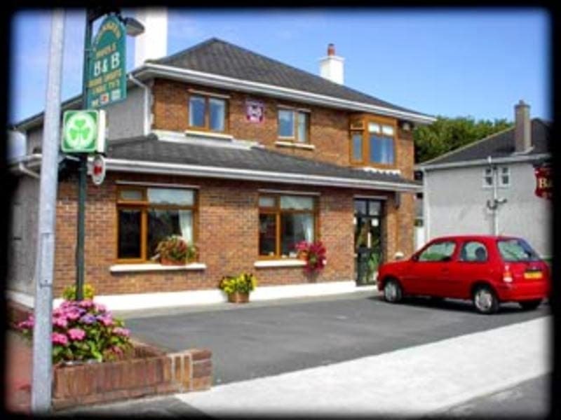 Enclosure in GardenfieldEnclosure · 589 yd
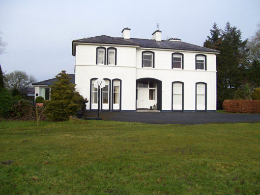 Gardenfield Househouse · 687 yd
 water pumpwater pump · 764 yd
 European ashEuropean ash · 1.1 mi
 Fartamore Castle in ruinsCastle, tower house · 2.9 mi
 Fartamore Castle (ruins)Castle · 2.9 mi
 Mass RockNamed rock · 3.0 mi
 KnockmaaWood · 6.0 mi
 Kilcoona Round TowerHeritage attraction · 9.8 mi
 Ballinduff BayBay · 12 mi
 LismoreArchaeological place · 1124 yd