What is recorded here
In pasture, located on a slight terrace, just below the summit on the N-facing slope of a hill. The location affords extensive views SW–NE, with several notable landmarks visible: Muckelty Hill and Knocknashee to W and WNW, backed by the long spine of the Ox Mountains; Knocknarae to NNW; Benbulben to NNE and the Ballygawley and Dartry Mountains to NE. To SW the ground rises to the heather-covered slopes of Kesh Corann.
This enclosure is not indicated any edition of the OS 6-inch maps. A circular undulation (diam. 20-21m) representing a levelled bank is barely discernible at ground level.
Compiled by: Jane O’Shaughnessy
Date of upload: 27 March 2020
The monument record does not grant public access. Check the route and ask the landowner before entering private land.
- What survives
- Recorded monument
Places near here
 Man-made underground passage in Ballinvoher (corran By.)Man-made underground passage · 993 yd
 Quarry in CarnaweeleenQuarry · 1184 yd
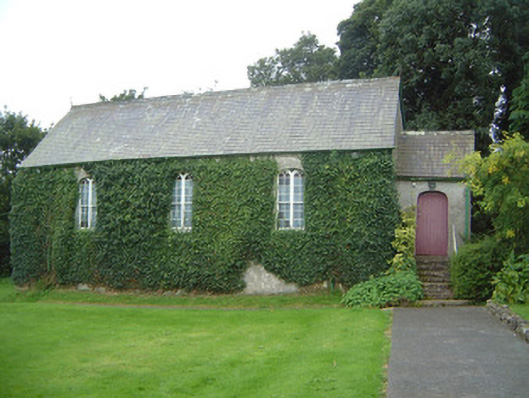 Graniamore Presbyterian Churchchurch/chapel · 1260 yd
 Giants GravesArchaeological place · 1329 yd
 School CaveCave · 1351 yd
 Kesh CorannMountain / peak · 1535 yd
 Caves of KeshCave · 1.0 mi
 Bricklieve Castle (in Ruins)Castle, unclassified · 1.9 mi
 Treanscrabbagh caveCave · 2.7 mi
 Ballymote CastleCastle · 3.0 mi
 Brother WalfridMemorial · 3.1 mi
 Bricklieve MountainsMountain / peak · 3.2 mi