What is recorded here
'This monument is again recorded in the Record of Monuments & Places as an enclosure and possible hutsite. The enclosing bank is again composed mainly of limestone rubble and earth and is 0.6m high externally and 0.40m high internally. The bank is on average 3m wide and encloses an area measuring 41m E-W by 38m N-S. The enclosure is again located in an area of exposed limestone bedrock some of which has been included in the circuit of the enclosing bank. A stoney oval area approximately 5m by 4.2m in the interior may represent the remains of a central house. Again, there is no evidence for a ditch externally or internally and the extant form of the enclosing element suggests that it was not a cashel or caher of the normal type.'
Description from ‘The Prehistoric Settlement of the Lee Valley, Tralee, Co. Kerry; A Landscape Perspective’ by Michael Connolly. PhD Thesis UCC 2008
Date of upload: 22 June 2012
The monument record does not grant public access. Check the route and ask the landowner before entering private land.
- What survives
- Recorded monument
Places near here
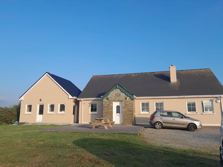 Hut site in CarrigeendanielHut site · 1 yd
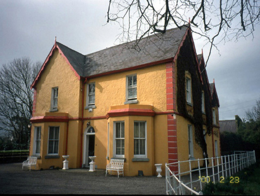 Mount Hawk Househouse · 414 yd
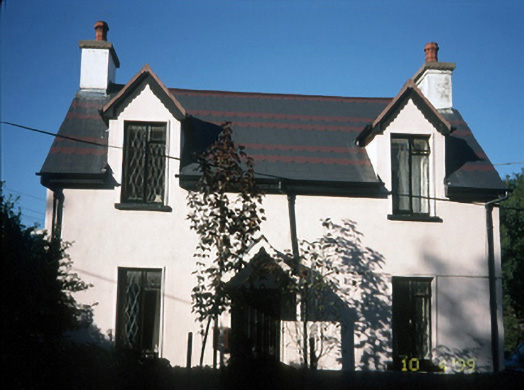 Katy's Cottagehouse · 814 yd
 Enclosure in MounthawkEnclosure · 852 yd
 Castle MacallistrumCastle, unclassified · 1165 yd
 John Hurley GalleryGallery · 1706 yd
 CastleCastle, unclassified · 1716 yd
 The PikemanMemorial · 1719 yd
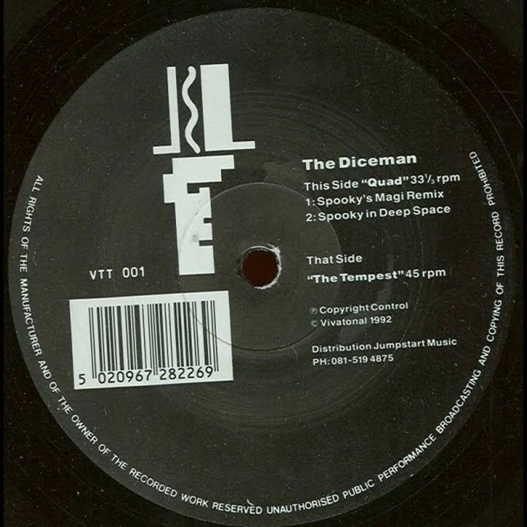 The DicemanMemorial · 1722 yd
 Kerry County MuseumMuseum · 1.0 mi
 Tralee Bay Wetlands Eco and Activity ParkNature reserve · 1.1 mi
 Tobar na MoltSpring · 3.3 mi