What is recorded here
On a rocky height, in pasture. An oval enclosure (dims. c. 33m NE-SE; c. 22m NW-SE) visible on satellite imagery (Google Earth satellite imagery, 20 January 2020), identified and reported by Jean-Charles Caillère. It forms the NE angle of a larger roughly triangular-shaped enclosure (TS086-048----). The triangular-shaped enclosure is hachured on the 1907 revision of the OS 6-inch map but there is a gap in the NE angle where the oval enclosure is located. The map shows a 382ft (116m) trigonometrical station on the N bank of the triangular-shaped enclosure. Both enclosures appear to be constructed of stone walling, now grass covered. The triangular enclosure appears to run up to an oval enclosure.
See attached:
TS086-049----_01 Google Earth satellite image (imagery date 20 January 2020)
Compiled by: Jean Farrelly
Date of upload: 22 February 2022
The monument record does not grant public access. Check the route and ask the landowner before entering private land.
- What survives
- Recorded monument
Places near here
 Fulacht fia in CarrigavistealFulacht fia · 1125 yd
 Site of CastleCastle, unclassified · 1554 yd
 Coolantallagh Househouse · 1686 yd
 Enclosure in LisfunshionEnclosure · 1712 yd
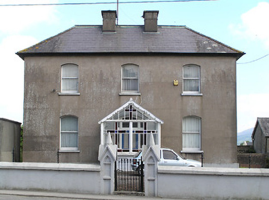 presbytery/parochial/curate's housepresbytery/parochial/curate's house · 1724 yd
 Ronald Reagan CentreHeritage attraction · 1.1 mi
 Mitchelstown CaveCave · 1.4 mi
 Shanbally CastleCastle · 2.2 mi
 Sweet ChestnutSweet Chestnut · 2.3 mi
 Sheep HillMountain / peak · 2.4 mi
 Lyrefune HillMountain / peak · 2.7 mi
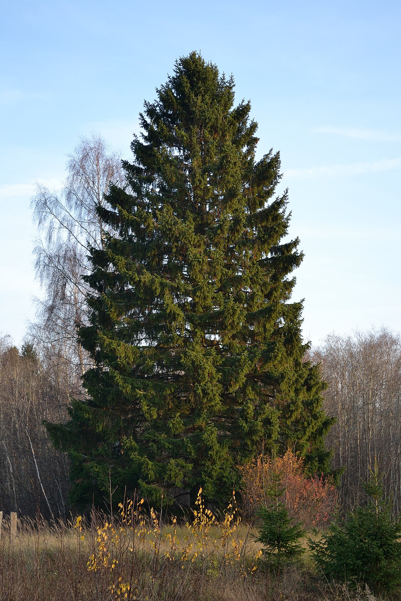 Norway SpruceNorway Spruce · 2.7 mi