What is recorded here
Enclosure in Carrigafoyle stands immediately NE of Carrigafoyle Church, a sub-circular area wrapped in a low, wide bank that ploughs and patience have nearly erased. What remains is a ghost of a boundary: five metres across, forty centimetres proud, with a shallow western ditch no deeper than a child’s knee. Inside that faint ring, seventeen metres of quiet earth may have held ceremony, conflict or childhood games. The land has taken back most of the shape, but the sway still marks where people once drew a line around the world.
Situated immediately NE of Carrigafoyle Church (927), this site consists of a sub-circular area enclosed by a low, wide bank. It has been much levelled and is now barely perceptible. The enclosing bank is only visible from the NW through W to S to SE, and appears elsewhere only as a slight rise. The bank is on average 5m wide and rises to .4m high. A slight fosse can be noticed to the W, where it is 2m wide and .2m deep. The internal diameter is 17m N-S and 17m E-W.
The above description is derived from C. Toal, ‘North Kerry Archaeological Survey’. Dingle. Brandon in association with FAS Training and Employment Authority (1995), no. 1019. In certain instances the entries have been revised and updated in the light of recent research.
Date of upload: 3 August 2013
The monument record does not grant public access. Check the route and ask the landowner before entering private land.
- What survives
- Recorded monument
Places near here
 Church (in ruins)Church · 45 yd
 Carrigafoyle Cas. (in ruins)Castle, tower house · 123 yd
 Carrigafoyle CastleCastle · 126 yd
 Siege of Carrigafoyle Castlesiege · 139 yd
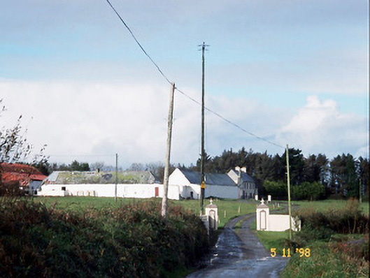 Kilelton Farm Yardfarmyard complex · 169 yd
 Causeway in Carrig IslandCauseway · 209 yd
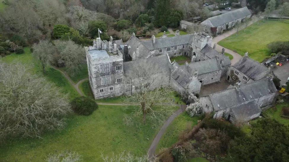 ToberscatteryHoly well · 458 yd
 Carrig IslandIsland · 529 yd
 Fawley's PointHeadland · 2.9 mi
 Scattery IslandIsland · 3.0 mi
 Scattery Island Visitor CentreVisitor information · 3.2 mi
 Mall PointHeadland · 3.4 mi