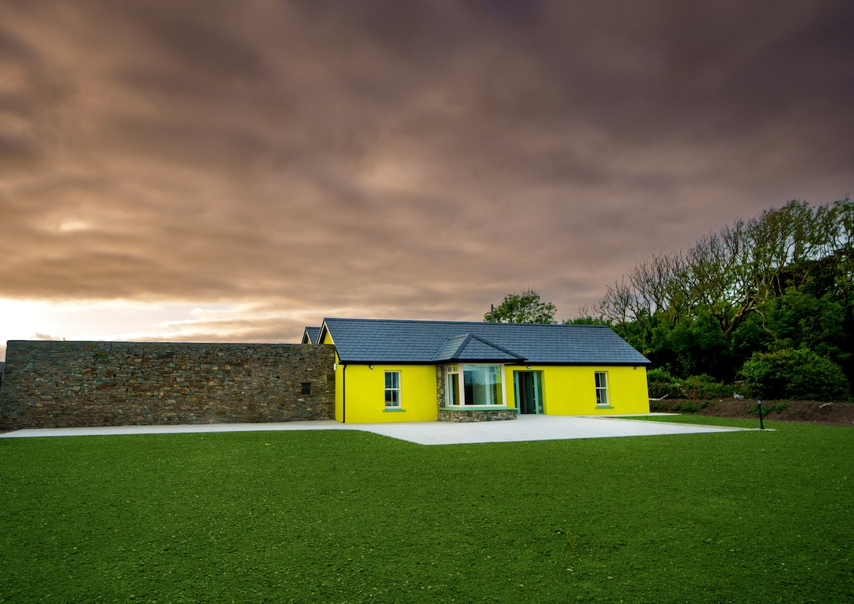
What is recorded here
Semi-circular shaped area enclosed by low earthen bank within the NW quadrant of the ecclesiastical enclosure (KE002-008003-) transected at E by post-1700 field boundary (Toal 1995, 208, no. 830). Holy Well (KE002-008002-) incorporated into field boundary at N end of enclosure.
See attached plan of Carrig Island ecclesiastical enclosure taken from North Kerry Survey
Compiled by: Caimin O'Brien
Date of upload: 7 January 2022
The monument record does not grant public access. Check the route and ask the landowner before entering private land.
- What survives
- Recorded monument
Places near here
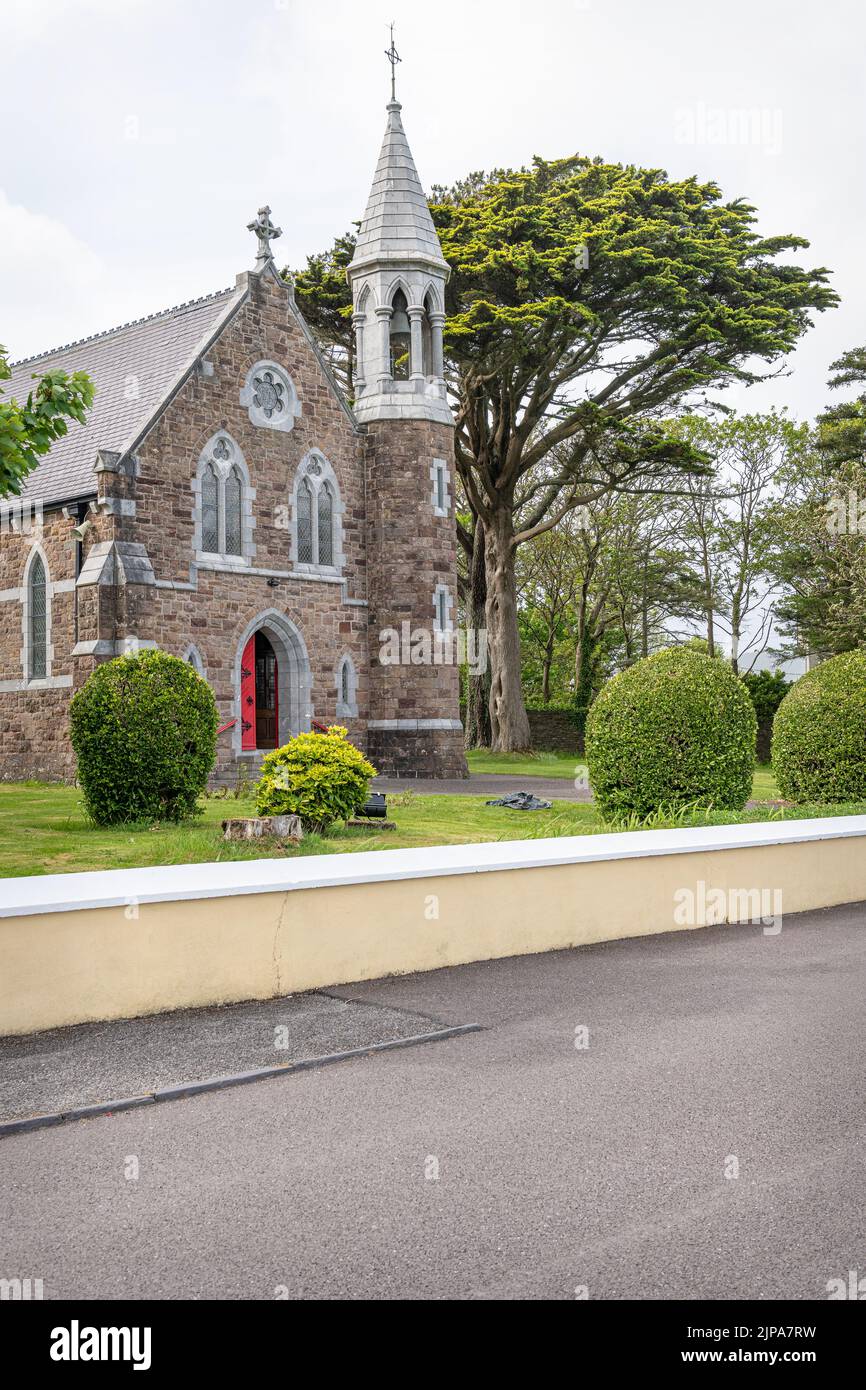 Ecclesiastical enclosure in Carrig IslandEcclesiastical enclosure · 55 yd
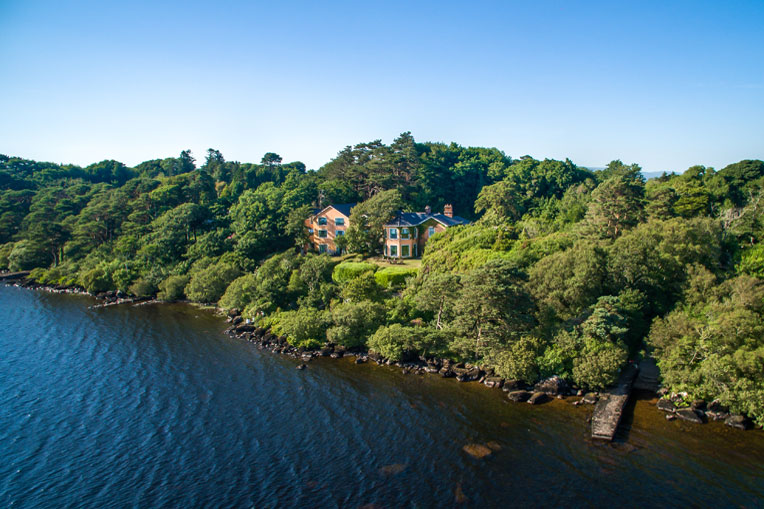 Hut site in Carrig IslandHut site · 78 yd
 Carrig IslandIsland · 324 yd
 Carrig Point BatteryRuins · 662 yd
 Church (in ruins)Church · 840 yd
 CastleCastle, ringwork · 882 yd
 Carrigafoyle Cas. (in ruins)Castle, tower house · 915 yd
 Siege of Carrigafoyle Castlesiege · 970 yd
 Fawley's PointHeadland · 2.5 mi
 Scattery IslandIsland · 2.5 mi
 Scattery Island Visitor CentreVisitor information · 2.7 mi
 Cusheen PointHeadland · 2.9 mi
Other information
Photo: Credit not shown in the picture search · Rights wording not checked; contact us if this picture should be removed