
What is recorded here
Top of a bare hillock, wide sky in every direction. A shallow scarp still marks three sides of a room never built for trade or prayer, while field walls and forgetting took the other two. The land kept the shape long enough for people to measure it, then took it back.
On top of a prominent hillock with wide views, in hilly pastureland with boggy patches. Hachured as a circular raised feature on the 1842 ed. of the OS 6-inch map, and as a subrectangular raised feature on the 1897 OS 25-inch plan and the 1920 ed. of the OS 6-inch map. This subrectangular enclosure (int. dims. c. 33.3m N-S; 20.2m) is defined by a scarp (av. H 0.8m) which survives from SW to NNE; the E and S sides are overlain by a collapsed field wall (marked on the 1920 ed. of the OS 6-inch map) and an upstanding field wall respectively. There is no trace of the enclosure to the E and S of these walls, suggesting that its perimeter was levelled here. On the W perimeter there is a berm (Wth 2m) at the bottom of the scarp, while at the N the scarp is less well defined. The grass-covered interior is slightly higher at its centre.
Compiled by: Mary Tunney and Conn Herriott
Date of upload: 29 November 2022
This remains an important historical record, but the official description says the monument is no longer visible or has been destroyed. The monument record does not grant public access. Check the route and ask the landowner before entering private land.
- What survives
- No visible remains or recorded as destroyed
Places near here
 Aughavinna FortFairy fort / earthen ringfort · 1003 yd
 Enclosure in AughavinnaEnclosure · 1066 yd
 Toomullin Church (in Ruins)Church · 1438 yd
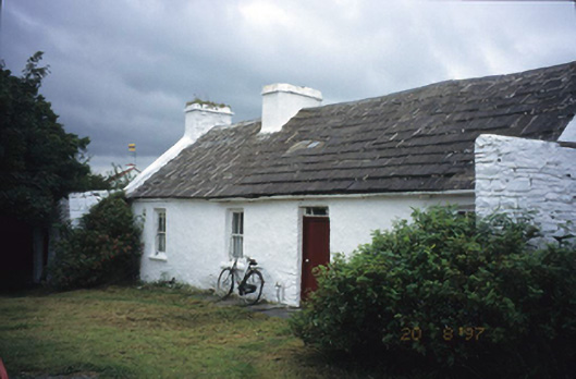 farm housefarm house · 1464 yd
 Doolin Road SinkCave · 1476 yd
 St. Catherine's OneCave · 1.1 mi
 CastleCastle, unclassified · 1.2 mi
 Doonmacfelim Castle (in Ruins)Castle, tower house · 1.5 mi
 Doolin Cave Visitor CentreHeritage attraction · 2.0 mi
 Doolin FerriesHeritage attraction · 2.4 mi
 Wild Atlantic Way: Doolin PierVisitor information · 2.4 mi
 Ballaghaline PointHeadland · 2.5 mi
Other information
Photo: Credit not shown in the picture search · Rights wording not checked; contact us if this picture should be removed