What is recorded here
On a rise in grassland. Classified by McCaffrey (1952, 220, no. 79) as a circular ‘Enclosure’ (diam. c. 22m) defined by a ‘one face or ring of rough boulders’. No visible surface trace survives.
Compiled by: Galway Archaeological Survey, UCG
Date of upload: 18 February 2019
The monument record does not grant public access. Check the route and ask the landowner before entering private land.
- What survives
- Recorded monument
Places near here
 Field system in CarheenField system · 261 yd
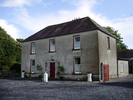 Carheen Househouse · 262 yd
 Killogilleen Church (in ruins)Church · 472 yd
 Cregg Castle (in ruins)Castle, tower house · 725 yd
 Structure in BallynascraghStructure · 833 yd
 CarnanthomasCastle, unclassified · 1.2 mi
 Blake's IslandIslet · 5.0 mi
 Scalpeen RockNamed rock · 5.9 mi
 Kilcornan ForestWood · 6.8 mi
 Loughaun WoodWood · 7.4 mi
 Drumacoo Monastic SiteHeritage attraction · 8.1 mi
 MweenisharanIslet · 9.6 mi