
What is recorded here
Enclosure in Cappoge is a subcircular ditch in a County Dublin field, not a castle or chamber. It measures about 69m by 73m, lies 990m NE of Cappoge Castle, and has been test-excavated. People may have kept livestock, marked a boundary or gathered for seasonal work there. The ditch still holds that shape because the land has not fully erased the choice made to dig it.
Located in an arable field, c. 990m NE of the site of Cappoge Castle (DU014-027----), differential vegetation growth forming a subcircular enclosure is visible on Google Earth imagery (24 June 2018). The enclosure (dims. c. 69m N–S and c. 73m E–W) is defined by a ditch (Wth c. 1m). Test excavations have taken place here in recent times.
Tom Condit, Archaeologist, National Monuments Service
Uploaded on 20 April 2020
The monument record does not grant public access. Check the route and ask the landowner before entering private land.
- What survives
- Recorded monument
Places near here
 Enclosure in KildonanEnclosure · 360 yd
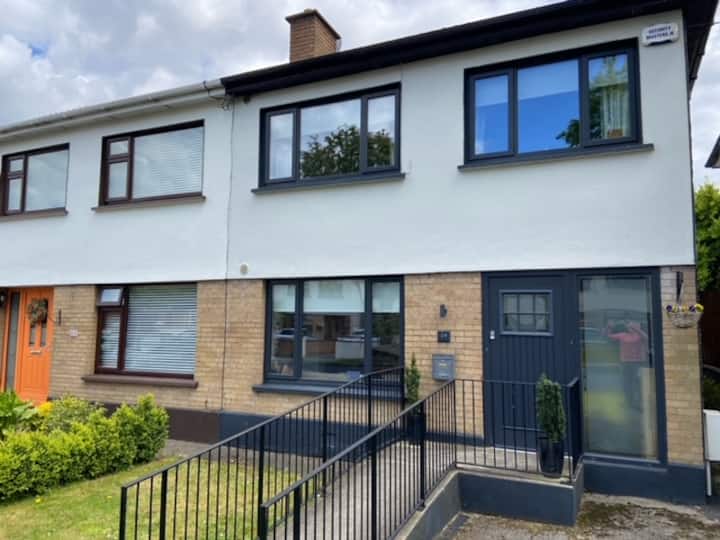 Habitation site in CappogeHabitation site · 886 yd
 Site of CastleCastle, tower house · 1066 yd
 Liam Ó MaoilíosaMemorial · 1491 yd
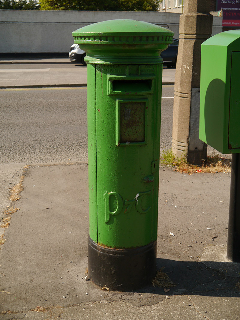 post boxpost box · 1689 yd
 The Old Red LionInn · 1715 yd
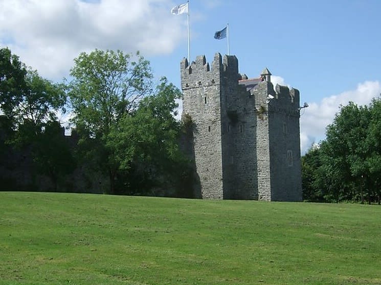 Dubber Castle (site of)Castle, unclassified · 1.3 mi
 Richard McKeeMemorial · 1.4 mi
 Horizon Logistics ParkVisitor information · 1.9 mi
 BallymunVisitor information · 2.5 mi
 BaldcypressBaldcypress · 2.8 mi
 Dawn RedwoodDawn Redwood · 2.8 mi
Other information
Photo: Credit not shown in the picture search · Rights wording not checked; contact us if this picture should be removed