What is recorded here
Situated on a W-facing slope of rising ground in an upland area with a nearby ringfort (TN025-068001) to the N. The remains of a much degraded ringfort consisting of a circular area (diam. 37m N-S; 28.5m E-W) enclosed by a low bank (Wth 3.5m; ext. H 0.5-0.8m) best preserved at S. A modern road intersects the site at E on a N-S axis.
The above description is derived from 'The Archaeological Inventory of County Tipperary. Vol. 1 - North Tipperary' compiled by Jean Farrelly and Caimin O'Brien (Dublin: Stationery Office, 2002). In certain instances the entries have been revised and updated in the light of recent research.
Date of upload/revision: 22 September 2008
The monument record does not grant public access. Check the route and ask the landowner before entering private land.
- What survives
- Recorded monument
Places near here
 Enclosure in KilmastullaEnclosure · 825 yd
 IndicatedFairy fort / earthen ringfort · 906 yd
 Doonan's HillMountain / peak · 1.1 mi
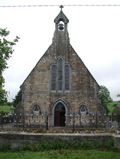 Saint Joseph's Catholic Churchchurch/chapel · 1.2 mi
 Church, Grave Yd.Church · 1.3 mi
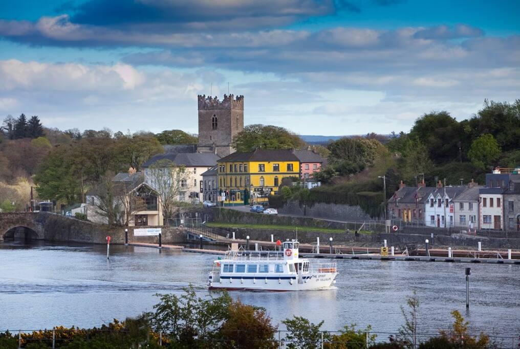 Cloghaneena (in ruins)Castle, hall-house · 3.0 mi
 My Next AdventureHeritage attraction · 3.3 mi
 Ballina Castle (in ruins)Castle, tower house · 3.3 mi
 Brian Boru Heritage CentreVisitor information · 3.4 mi
 The Pollagh TrailNature reserve · 3.4 mi
 Ballyhourigan WoodsForest · 3.7 mi
 Coum HillMountain / peak · 4.1 mi