What is recorded here
On a low, yet distinctive knoll, in improved pasture, overlooking woodland to E and gently rolling pasture elsewhere. Depicted on the 1840 edition OS 6-inch map as a large oval area defined by a single enclosing element. The monument is shown as a sub-oval area (30m N-S; 19m E-W) defined by a single enclosing element on the 25-inch OS map and 1921 edition of the OS 6-inch map. Not visible at ground level. This knoll was clearly used as a well-drained vantage point with land sloping down steeply to N and E. According to local information this land was intensively improved sometime prior to the 1980s.
Compiled by: Mary Tunney, Alison McQueen and Vera Rahilly
Date of upload: 14 March 2018
The monument record does not grant public access. Check the route and ask the landowner before entering private land.
- What survives
- Recorded monument
Places near here
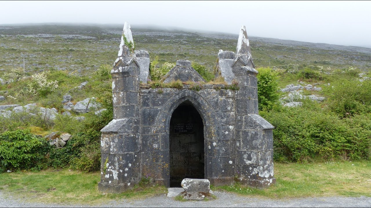 Enclosure in Cloonaherna,gorteen (dangan Ed)Enclosure · 389 yd
 Castle in ruinsCastle, unclassified · 636 yd
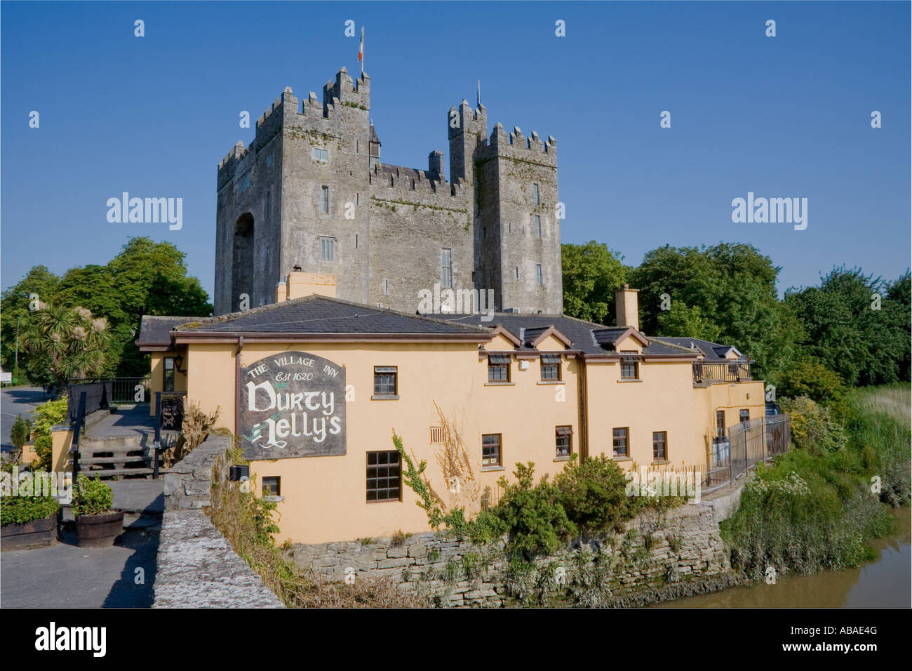 IndicatedEnclosure · 844 yd
 Cullan Castlecountry house · 1039 yd
 Cloghleagh RockNamed rock · 1055 yd
 The RingfortHeritage attraction · 1227 yd
 CraggaunowenNationally known place · 1337 yd
 Craggaunowen CastleCastle, tower house · 1345 yd
 Shankill Church (in ruins)Church · 1582 yd
 islandWood · 3.8 mi
 Mooghaun WoodsWood · 4.6 mi
 Mass RockMemorial · 5.0 mi