What is recorded here
On a gentle SW-facing slope. Listed in the SMR (1986) as an enclosure visible on an aerial photograph (GSIAP S 183/4). Visible on OS aerial photography taken c. 2005 (Accessed: 17 December 2012) as a subcircular enclosure (c. 12m N-S; c. 14m E-W).
Compiled by: Mary Tunney
Date of upload: 17 December 2012
The monument record does not grant public access. Check the route and ask the landowner before entering private land.
- What survives
- Recorded monument
Places near here
 The Back MotteNamed rock · 1.4 mi
 SlievemaanMountain / peak · 1.6 mi
 Ballineddan MountainMountain / peak · 1.6 mi
 IndicatedFairy fort / earthen ringfort · 1.6 mi
 The Black StairsNamed rock · 1.7 mi
 Font in LeitrimFont · 1.9 mi
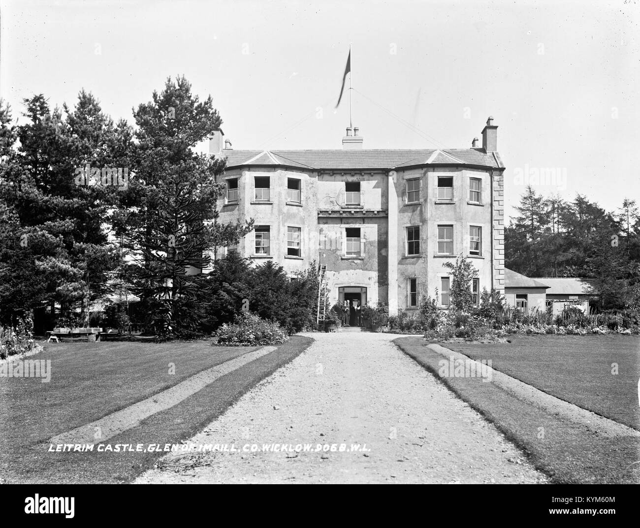 Leitrim BarracksRuins · 2.1 mi
 Artillery MemorialMemorial · 2.1 mi
 Seskin Ho. in ruinsHouse, fortified house · 2.3 mi
 Michael Dwyer MemorialMemorial · 2.4 mi
 Dwyer McAllister CottageMuseum · 3.1 mi
 Dwyer-McAllister Cottagefarm house · 3.1 mi