What is recorded here
Circular enclosure (diam. c. 30m), with possible opening at S, visible on aerial photograph (Michael Moore; AP date 16/07/2006). No trace of this visible at ground level when inspected in 2013.
Compiled by: Claire Breen
Date of upload: 23 May 2013
The monument record does not grant public access. Check the route and ask the landowner before entering private land.
- What survives
- Recorded monument
Places near here
 Calary Churchchurch/chapel · 1679 yd
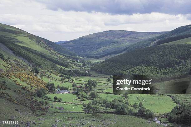 IndicatedHillfort · 1.1 mi
 Church in Kilmurry South (rathdown By.)Church · 1.2 mi
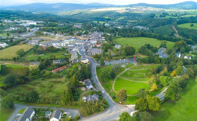 Enclosure in Ballyremon CommonsEnclosure · 1.4 mi
 Great SugarloafMountain / peak · 1.6 mi
 Glen of the DownsNature reserve · 1.6 mi
 Great Sugar LoafMountain · 1.7 mi
 The Sugar Loaf WayWalking route · 1.8 mi
 Carrigower BogNature reserve · 1.8 mi
 Deerpark TrailWalking route · 2.2 mi
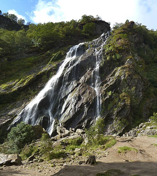 Powerscourt WaterfallWaterfall · 2.5 mi
 Johnny Fox's MemorialMemorial · 2.7 mi