What is recorded here
On a low rise in pasture. The SE arc of a subcircular enclosure defined by a low earthen bank from NE to W visible on Google Earth (Imagery date: 10 February 2021) abuts a NE-SW modern field boundary. A contemporary field boundary abuts the perimeter at SW.
Compiled by: Mary Tunney
Date of upload: 12 July 2023
The monument record does not grant public access. Check the route and ask the landowner before entering private land.
- What survives
- Recorded monument
Places near here
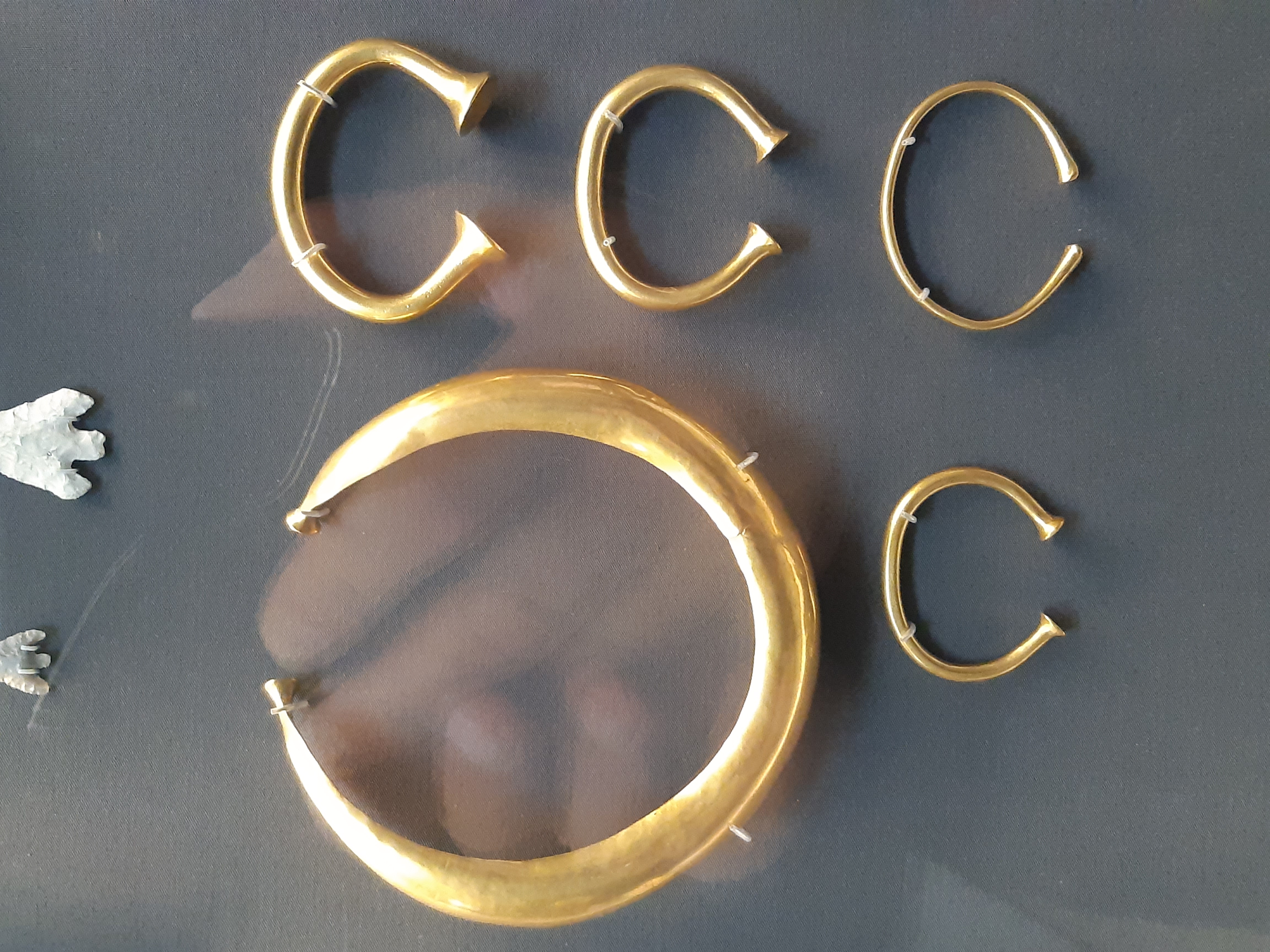 Enclosure in Mooghaun NorthEnclosure · 1239 yd
 Ballylassa FortEnclosure · 1267 yd
 Mooghaun HillfortArchaeological place · 1.0 mi
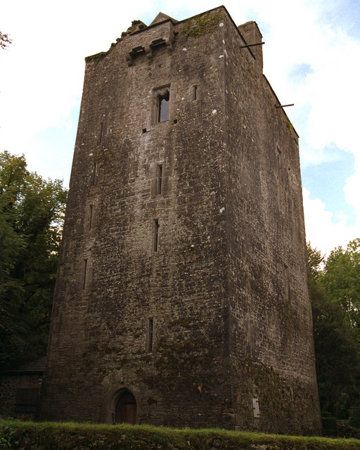 Mooghaun castleCastle · 1.2 mi
 Knappoge CastleCastle, tower house · 1.2 mi
 Knappogue Castlecastle/fortified house · 1.2 mi
 Mooghaun WoodsWood · 1.2 mi
 Church (in Ruins)Church · 1.2 mi
 Quin AbbeyHeritage attraction · 1.8 mi
 HawthornHawthorn · 2.6 mi
 Cloghleagh RockNamed rock · 3.9 mi
 G.A.A. Commemorative StoneMemorial · 4.7 mi