What is recorded here
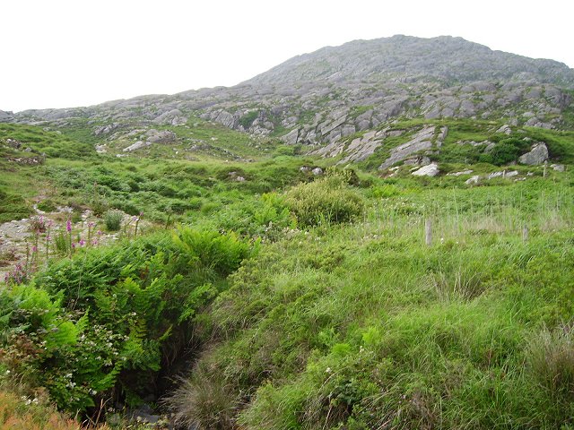
On rocky lower slopes of Knockagallaun with commanding view of Coulagh Bayand Kenmare River to N. Two enclosures (CO115-050---; CO114-051---) to SE overlook site. Naturally flat circular area (21m N-S; 22.6m E-W) enclosed by rough walling of loose stones some of which may have originally stood edge to edge. According to local information "a circle of stones" stood here with "two fine large stones (H c. 1.5m) marking entrance to SE. Many stones removed and site disturbed c. 1941 during construction of road to N.
The above description is derived from the published 'Archaeological Inventory of County Cork. Volume 1: West Cork' (Dublin: Stationery Office, 1992). In certain instances the entries have been revised and updated in the light of recent research.
Date of upload/revision: 14 January 2009
The monument record does not grant public access. Check the route and ask the landowner before entering private land.
- What survives
- Recorded monument
Places near here
 Enclosure in CaherkeenEnclosure · 49 yd
 Mass RockVisitor information · 68 yd
 IndicatedField system · 106 yd
 Caherkeen Mass RockHeritage attraction · 203 yd
 Church in CaherkeenChurch · 1234 yd
 KnocknagallaunMountain / peak · 1331 yd
 Old MineRuins · 1.4 mi
 Eagle HillMountain / peak · 1.5 mi
 DooneenViewpoint · 1.6 mi
 Blue IslandsIslet · 1.7 mi
 Black RockIslet · 2.1 mi
 Allihies Copper Mine MuseumMuseum · 2.2 mi