
What is recorded here
Caherglassaun Louch still reflects sky though the enclosure has vanished, leaving only memory and a distant tower house to mark the lost boundary.
In grassland overlooking Caherglassaun Lough to the S. Marked on the 1922 edition of the OS 6-inch map as a subrectangular enclosure (diam. c. 30m N-S; c. 27m E-W). No visible surface trace survives. A tower house (GA122-029----) lies c. 90m to the NE.
Compiled by: Galway Archaeological Survey, UCG
Date of upload: 18 February 2019
The monument record does not grant public access. Check the route and ask the landowner before entering private land.
- What survives
- Recorded monument
Places near here
 Mine in CaherglassaunMine · 508 yd
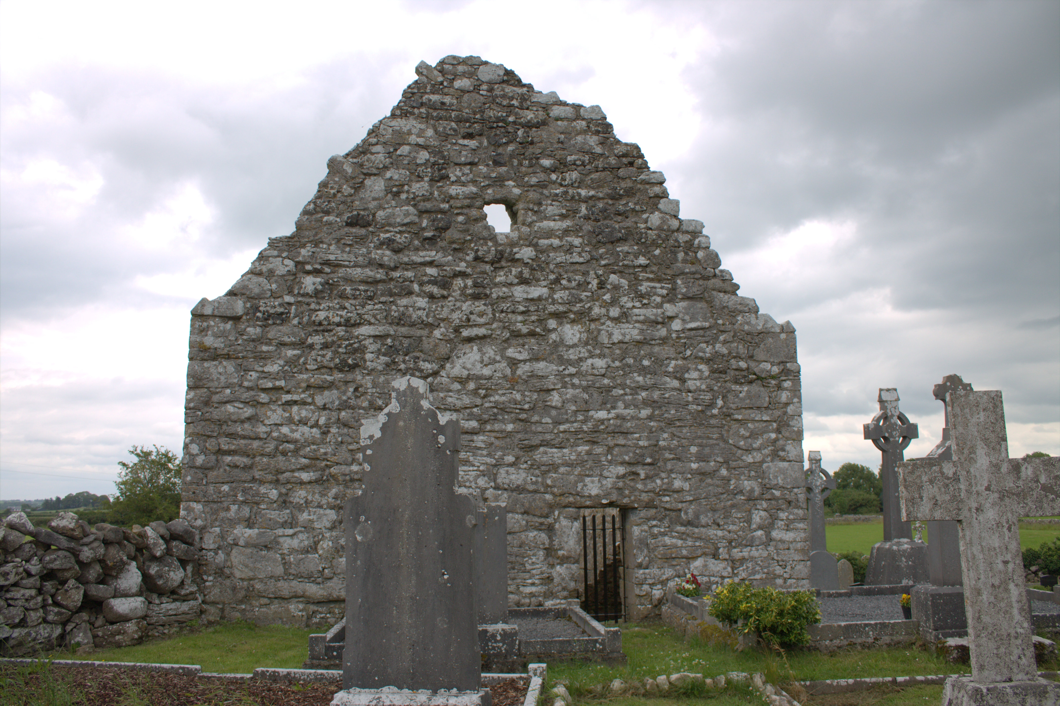 Killomoran Church (in ruins)Church · 688 yd
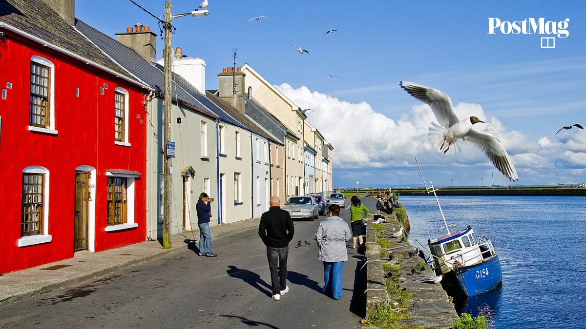 Nastaig FortFairy fort / earthen ringfort · 1101 yd
 EnclosureEnclosure, large enclosure · 1300 yd
 Castle in ruinsCastle, unclassified · 1.3 mi
 Coole-Garryland Nature ReserveNature reserve · 1.6 mi
 Coole ParkWood · 1.9 mi
 Cahererillan CastleCastle · 2.5 mi
 Drumharsna CastleHeritage attraction · 3.0 mi
 Kilmacduagh Monastic SiteVisitor information · 3.9 mi
 Kilmacduagh MonasteryHeritage attraction · 4.0 mi
 Mulroney's IslandIslet · 4.3 mi
Other information
Photo: Credit not shown in the picture search · Rights wording not checked; contact us if this picture should be removed