What is recorded here
Enclosure in Caherfadda is a small subcircular stone circle in County Clare, Ireland. Its collapsed wall still stands ten metres across on a west-facing slope, with some long stones tilted inward as if pointing to a missing centre. It sits among rough pasture and other ancient markers, preserving the shape of a place people once drew around themselves.
In a fold on a W-facing slope, in rough pasture within a multiperiod field system (CL009-166001-). This small subcircular enclosure (int. dims. 11m NW-SE; 9m NE-SW) is defined by a grass-covered collapsed stone wall (Wth 1-1.5m; H 0.2-0.4m). Some stones in the wall appear to be placed with their long axis pointing toward the centre of the enclosure. Other enclosures (CL009-196001- and CL009-252----) lie c. 27m to the S and c. 40m to the NNE respectively. There is a cairn (CL009-196002-) c. 30m to the WNW.
Compiled by: Mary Tunney and Conn Herriott
Date of upload: 12 July 2022
The monument record does not grant public access. Check the route and ask the landowner before entering private land.
- What survives
- Recorded monument
Places near here
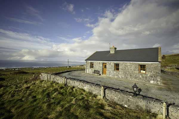 Enclosure in CaherfaddaEnclosure · 63 yd
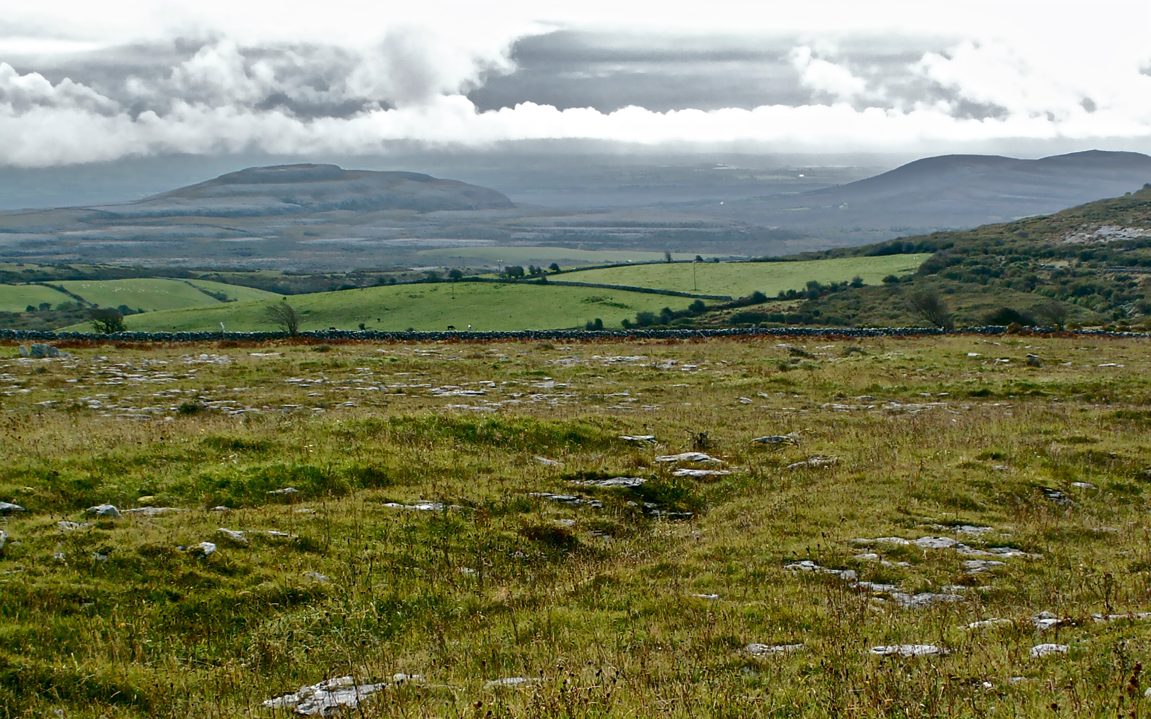 IndicatedFairy fort / stone ringfort · 599 yd
 Templeline (in ruins)Church · 1674 yd
 Farbrega RockNamed rock · 1.3 mi
 Fergus River CaveCave · 1.4 mi
 Leamaneh CastleCastle · 1.5 mi
 Leamaneh Castle (in ruins)House, fortified house · 1.5 mi
 Saint Joseph's Catholic Churchchurch/chapel · 2.0 mi
 Inchiquin IslandIslet · 3.1 mi
 Rock IslandIsland · 3.2 mi
 CaherconnellHeritage attraction · 3.4 mi
 Cave of the Wild HorsesCave · 3.6 mi