What is recorded here
On the SE shoulder of a pronounced NE-SW ridge overlooking a partly reclaimed valley to the SE and with similar ridge located 1.6km to the SE. Within an extensive multiperiod field system (CL004-016001-).
A D-shaped enclosure with a straight W side (12m NNE-SSW; 6.5m WNW-ESE) defined by a loosely constructed and potentially later stone wall (Wth 0.3-0.5m at N; Wth 0.6-0.9m at S) built on top of a stony bank (max. Wth 3m; int. H 0.25-0.5m; ext. H 0.25-0.5m). The interior is flat and rocky in the ESE. A low stone wall abuts the exterior at ESE.
Compiled by: Mary Tunney and Lynda McCormack
Date of upload: 26 September 2022
A D-shaped enclosure in Caherbullog, likely an early-medieval ringfort (rath), situated within a multiperiod field system on a prominent ridge. Local tradition associates such sites with fairy dwellings, and they were often avoided due to beliefs in supernatural inhabitants.
The monument record does not grant public access. Check the route and ask the landowner before entering private land.
- What survives
- Recorded monument
Places near here
 IndicatedFairy fort / stone ringfort · 315 yd
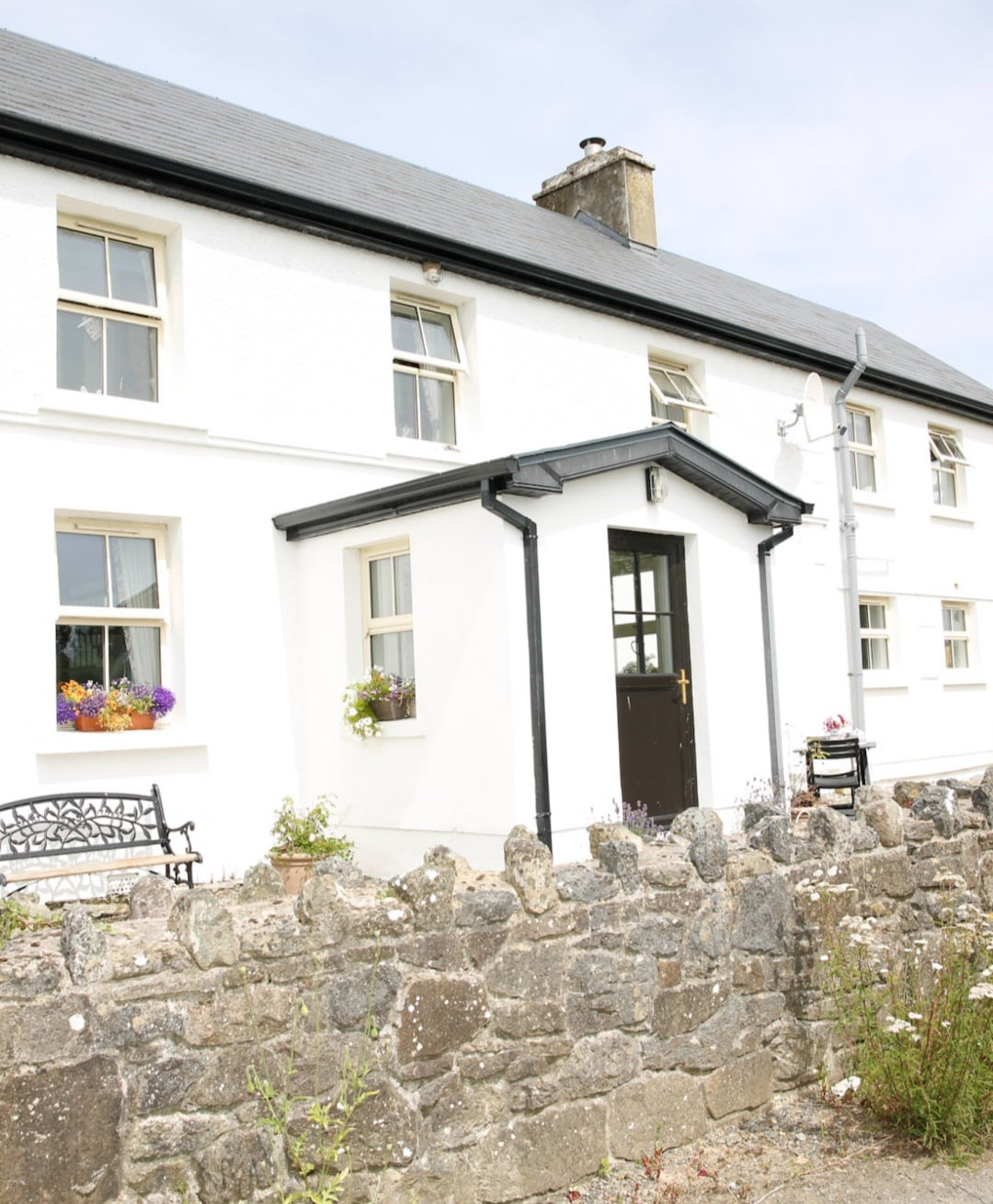 Enclosure in Formoyle WestEnclosure · 782 yd
 Slieve ElvaMountain / peak · 1.0 mi
 Formoyle R.C. ChapelChurch · 1.0 mi
 Faunarooska Castle (in ruins)Castle, tower house · 1.1 mi
 FaunarooskaCave · 1.3 mi
 PollbailinyCave · 1.4 mi
 Balliny CaherRuins · 1.5 mi
 Fanore BeachBeach / strand · 2.1 mi
 CappanawallaMountain / peak · 2.9 mi
 Gregan CastleCastle · 3.0 mi
 Black HeadHeadland · 4.0 mi