What is recorded here
Natural glacial hillock the base of which has been scarped survives, potential enclosure possible identified from aerial photographs taken in 1973 (GSI S 86/5). Potential enclosure that has been levelled leaving behind a scarped hillock that is cut by the modern Dublin-Limerick road. May have been an antiquity that was landscaped as a tree-ring in the 19th century due to its close proximity to Busherstown House, or may be a landscape feature of 19th century date.
The above description is derived from the published 'Archaeological Inventory of County Offaly' (Dublin: Stationery Office, 1997). In certain instances the entries have been revised and updated in the light of recent research.
Date of upload: 23 May 2011
The monument record does not grant public access. Check the route and ask the landowner before entering private land.
- What survives
- Recorded monument
Places near here
 Busherstown Housecountry house · 345 yd
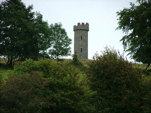 Busherstown Towerfolly · 653 yd
 IndicatedFairy fort / earthen ringfort · 946 yd
 Enclosure in BusherstownEnclosure · 1138 yd
 MoatCastle, motte · 1428 yd
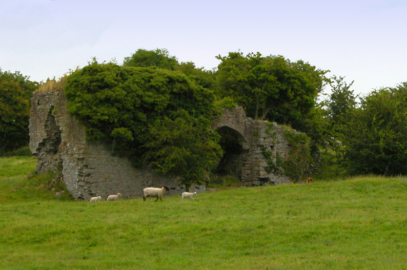 Bawn in CullenwaineBawn · 2.0 mi
 BenduffMountain / peak · 2.3 mi
 Longford WoodForest · 3.2 mi
 Borrisnoe MountainMountain / peak · 3.6 mi
 Kyleroe WoodWood · 4.0 mi
 Thomas MacDonagh Heritage CentreMuseum · 5.5 mi
 MacDonagh HouseMemorial · 5.5 mi