
What is recorded here
Situated on high ground within an undulating landscape. An aerial photograph taken by the OS in 1992 (Flight 8:7660) shows cropmark evidence for a triple-ditched enclosure comprising two inner circular ditches which are enclosed by a sub-circular enclosure. Geophysical survey (Licence no. 08R0023) was undertaken in advance of a proposed road realignment. Two concentric and symmetrical circular responses are encompassed within an outer sub-square response representing a probable trivallate enclosure. Outer enclosure 40m diam., the central 27m and the inner 12m diam. Few responses within the interior of the enclosures were identified. (Harrison 2008a). Not visible at ground level.
Compiled by: Geraldine Stout
Updated by: Christine Baker
Date of upload: 28 January 2015
The monument record does not grant public access. Check the route and ask the landowner before entering private land.
- What survives
- Recorded monument
Places near here
 Ring-ditch in SaintdoolaghsRing-ditch · 237 yd
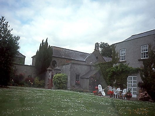 Springhillhouse · 254 yd
 Ring-ditch in Clonshagh (coolock By., Kinsaley Ed)Ring-ditch · 259 yd
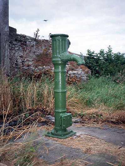 water pumpwater pump · 403 yd
 St Catherine's WellSpring · 940 yd
 Ayrfied UnitedHeritage attraction · 1.2 mi
 Stardust MemorialMemorial · 1.4 mi
 CastleCastle, unclassified · 1.4 mi
 Airways Industrial EstateVisitor information · 1.9 mi
 EolasVisitor information · 2.0 mi
 Corballis Castle (site of)Castle, unclassified · 2.1 mi
 ChryslerMemorial · 3.0 mi
Other information
Photo: Credit not shown in the picture search · Rights wording not checked; contact us if this picture should be removed