What is recorded here
This small stone enclosure is located in rocky mountain pasture just E of the summit of Meelin, a westerly spur of Been Hill, and commands clear views in all directions. It is marked as a circular enclosure on the first edition of the OS map and measures 12.4m N-S x 17.6m E-W internally. The enclosing element comprises a low overgrown stone wall, built of boulders set upright and horizontally. A number of upright slabs flanks its inner face at NE. The wall survives to a maximum height of 1m externally at N, measures 1m wide and drops .5m to the overgrown interior of the site. Two large upright slabs mark a 2.15m wide entrance gap at E, around which there is much collapse. No features were identified in the interior of the site, but the foundations of a circular hut abuts its external face at S. Its wall is built of flat slabs, and outcrop forms part of its foundation at SE. The hut measures 2.5m in internal diameter. About 2.5m E of the hut are two upright slabs orientated E-W. Their function is unclear.
The above description is derived from A. O'Sullivan and J. Sheehan (compilers), 'The Iveragh peninsula: an archaeological survey of South Kerry'. Cork University Press (1996), no. 705. In certain instances the entries have been revised and updated in the light of recent research.
Date of upload: 29 July 2013
The monument record does not grant public access. Check the route and ask the landowner before entering private land.
- What survives
- Recorded monument
Places near here
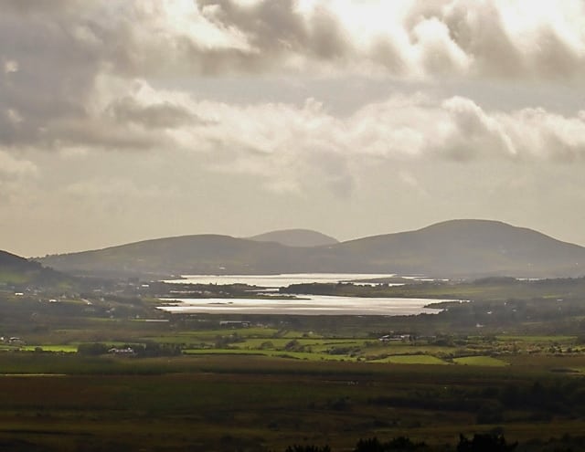 Man-made underground passage in CahernamanMan-made underground passage · 836 yd
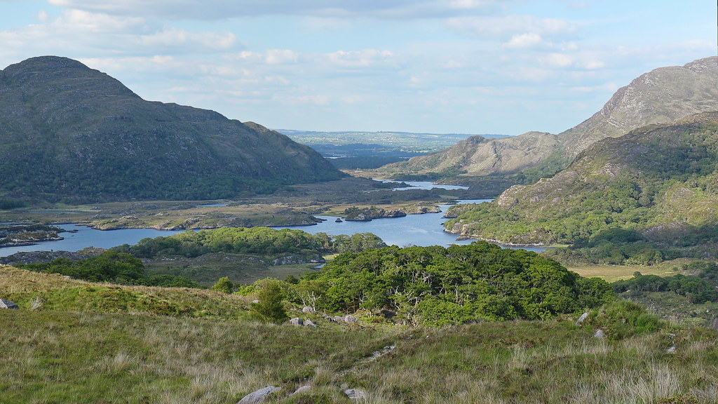 LisnalourFairy fort / earthen ringfort · 1197 yd
 Church in CaherlehillanChurch · 1.2 mi
 Kells Mtn East TopMountain / peak · 1.6 mi
 Soft Tree-fernSoft Tree-fern · 1.7 mi
 Chilean wine palmChilean wine palm · 1.8 mi
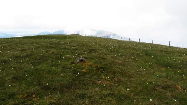 Been HillMountain / peak · 1.9 mi
 Kells BeachBeach / strand · 1.9 mi
 Sheep Dog TrainingHeritage attraction · 2.6 mi
 Gleensk Viaductbridge · 2.7 mi
 FeaklecallyHeadland · 3.5 mi
 Short Castle (Site of)Castle, unclassified · 3.7 mi