What is recorded here
A large rectangular enclosure (dims. c. 64m x 56m) visible as a cropmark on aerial photographs (ASIAP (24) 28-31, 2 August 1996). The N fosse is conjoined with an adjoining sub-rectangular enclosure which is depicted on the 1900 revised 6-inch OS map and appears to be a reclaimed field within an area of marshland. The large rectangular enclosure may also be related to 19th-century land reclamation.
See attached photograph:
KK012-098----_01 ASIAP (24) 30, 2 August 1996
Compiled by: Jean Farrelly
Date of upload: 31 August 2015
The monument record does not grant public access. Check the route and ask the landowner before entering private land.
- What survives
- Recorded monument
Places near here
 Ardaneena Church (in ruins)Church · 459 yd
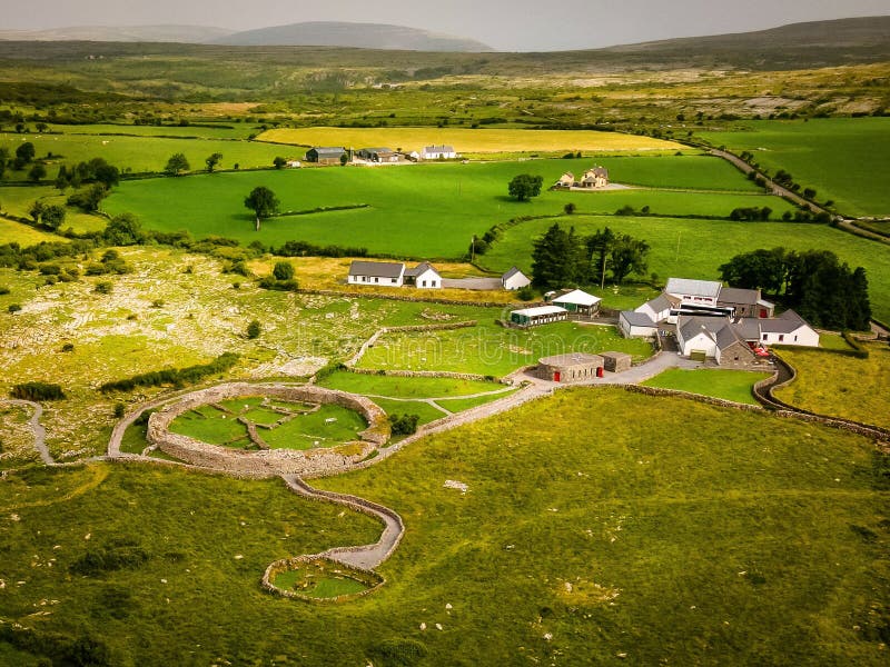 Borrismore Ringfort (Rath)Archaeological place · 722 yd
 Enclosure in Donaghmore LowerEnclosure · 934 yd
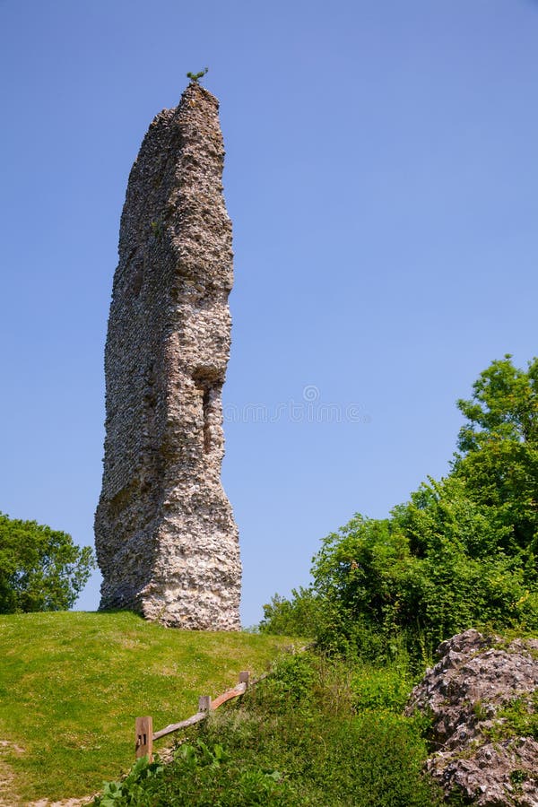 CastleCastle, ringwork and bailey · 1.0 mi
 Belle Vue Househouse · 1.1 mi
 TurretBawn · 1.3 mi
 John HelyMemorial · 1.5 mi
 DelaneyMemorial · 1.6 mi
 Clomantagh HillMountain / peak · 2.1 mi
 Kildrinagh WoodForest · 3.5 mi
 Street fieldArchaeological place · 4.5 mi
 Derrynaflan TrailHeritage attraction · 10.0 mi