
What is recorded here
Situated on a gentle NW-facing slope overlooking a stream valley. Rectangular enclosure (dims. 45m NW-SE; 38m NE-SW) defined by a degraded earthen bank and an external flat-bottomed fosse (Wth 3.5m). The NW and SE sides are incorporated into field boundaries. No indication of entrance or internal features.
The above description is derived from the published 'Archaeological Inventory of County Wicklow' (Dublin: Stationery Office, 1997). In certain instances the entries have been revised and updated in the light of recent research.
Date of upload/revision: 17 December 2008
The monument record does not grant public access. Check the route and ask the landowner before entering private land.
- What survives
- Recorded monument
Places near here
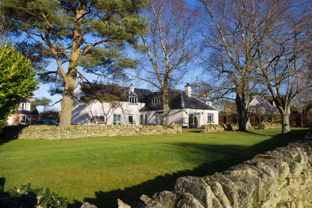 Enclosure in BroomfieldsEnclosure · 958 yd
 Portal tomb in BroomfieldsPortal tomb · 1149 yd
 Catholic Church of the Holy Trinitychurch/chapel · 1731 yd
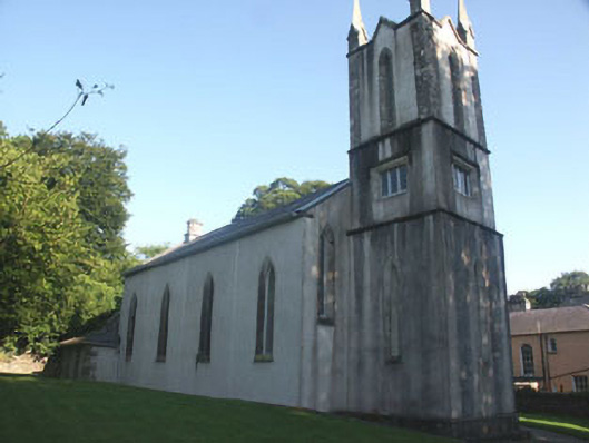 Donard Churchchurch/chapel · 1.1 mi
 Pedunculate OakPedunculate Oak · 1.1 mi
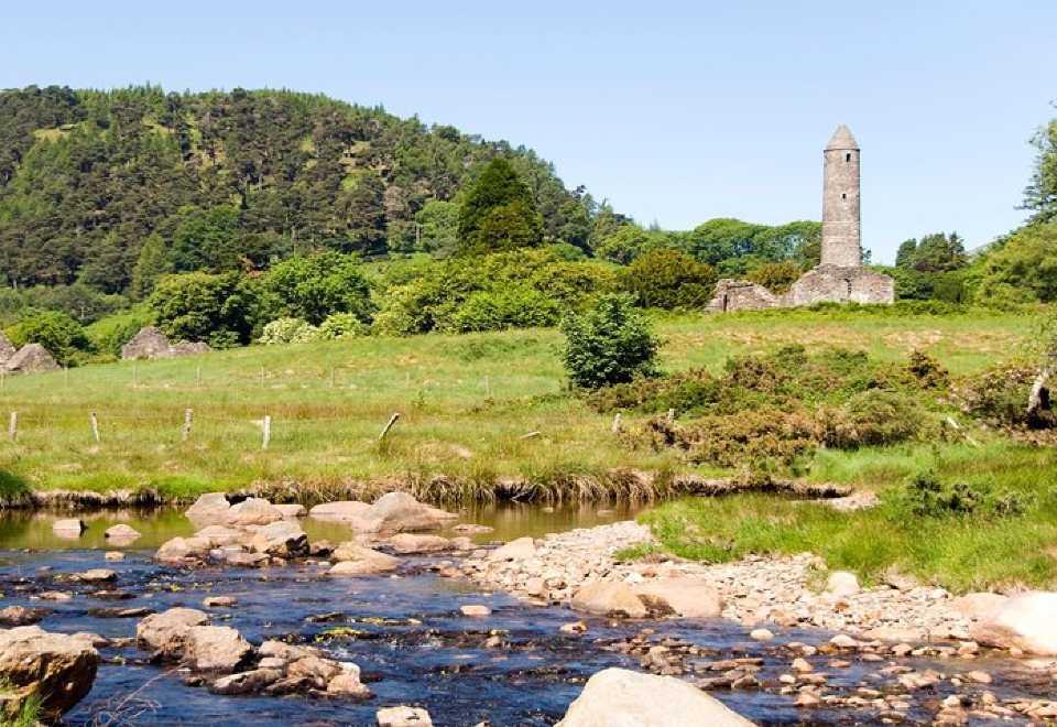 Ball MoatCastle, motte · 1.2 mi
 Church MountainMountain / peak · 1.9 mi
 PinnacleMountain / peak · 2.2 mi
 Burial ground in CrehelpBurial ground · 2.4 mi
 English hollyEnglish holly · 2.5 mi
 Castleruddery MotteArchaeological place · 3.2 mi
 Memorial to 1798 rebellionMonument · 3.4 mi
Other information
Photo: Credit not shown in the picture search · Rights wording not checked; contact us if this picture should be removed