What is recorded here
Divided in two by a fieldbank running in a N-S direction, this enclosure is situated between two large pastoral fields with a S facing slope. The enclosure is very much levelled and is now barely discernible; it forms a large rectangle which measures 52m N-S, and 97m E-W. The enclosing bank is very low and wide. The W sector is the best defined, measuring 12m wide at the base and c .5m high both internally and externally; it slopes gradually into the interior and external surrounding land.
The above description is derived from C. Toal, ‘North Kerry Archaeological Survey’. Dingle. Brandon in association with FAS Training and Employment Authority (1995), no. 973. In certain instances the entries have been revised and updated in the light of recent research.
Date of upload: 3 August 2013
A local fairy fort (ringfort/rath); wider significance not recorded.
The monument record does not grant public access. Check the route and ask the landowner before entering private land.
- What survives
- Recorded monument
Places near here
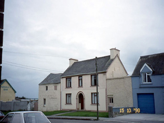 barracksbarracks · 540 yd
 J. Brownehouse · 552 yd
 LissagowerArchaeological place · 642 yd
 Round TowerRound tower · 1062 yd
 Crazy GolfHeritage attraction · 3.1 mi
 Clashmealcon CavesCave · 3.2 mi
 Long StrandBeach / strand · 3.4 mi
 CastleCastle, Anglo-Norman masonry castle · 3.5 mi
 Pierce's IslandIslet · 4.2 mi
 PulleenIslet · 4.3 mi
 Men's BeachBeach / strand · 4.3 mi
 Ballybunion Cliff PathWalking route · 4.6 mi
Other information
Photo: Credit not shown in the picture search · Rights wording not checked; contact us if this picture should be removed