What is recorded here
Cropmark of a levelled enclosure possible that is visible on the OSI aerial photographs taken in the year 2000. This possible enclosure site is located approx. 180m to the NE of a levelled bivallate ringfort (TN041-062) that is also clearly visible as a bivalate cropmark on the OSI aerial photographs taken in the year 2000. This possible enclosure is barely visible as a partial curved depression in the field. This curving depression may be the remains of a levelled bank or fosse of the enclosure visible from the south to the southwest side of the possible enclosure.
The monument record does not grant public access. Check the route and ask the landowner before entering private land.
- What survives
- Recorded monument
Places near here
 Ceremonial enclosure in BeakstownCeremonial enclosure · 200 yd
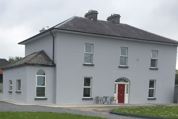 Habitation site in BeakstownHabitation site · 310 yd
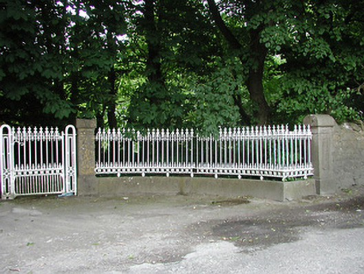 Glengarriff Housegates/railings/walls · 1500 yd
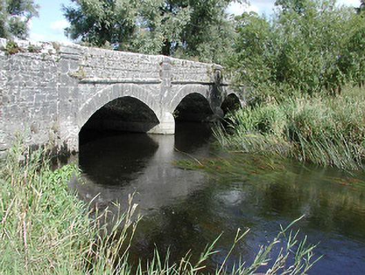 Cabragh Bridgebridge · 1608 yd
 Cormackstown Heritage CentreMuseum · 1.0 mi
 IndicatedBawn · 1.1 mi
 Castle (in ruins)Bawn · 1.1 mi
 Wildlife CorridorWood · 1.7 mi
 Lár na PáirceMuseum · 1.7 mi
 European ashEuropean ash · 1.8 mi
 Killough Hill (site of)Mountain / peak · 3.9 mi
 Pallas HillMountain / peak · 5.0 mi