What is recorded here
Just off crest on S facing slope in undulating terrain, in garden under pasture. Site not marked on either 1st (1843) or 2nd (1952-53) ed. OS 6-inch map but appears on an aerial photograph (Ordnance Survey 1840) as a semi-circular cropmark, the E side of a possible roughly circular enclosure. No visible trace of site above ground. Landowner never noticed any semi-circular feature in the field.
Compiled by: Jean Farrelly and Caimin O'Brien
Date of upload/revision: 22 September 2008
This remains an important historical record, but the official description says the monument is no longer visible or has been destroyed. The monument record does not grant public access. Check the route and ask the landowner before entering private land.
- What survives
- No visible remains or recorded as destroyed
Places near here
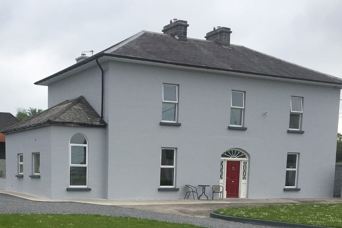 Habitation site in BeakstownHabitation site · 445 yd
 Ceremonial enclosure in BeakstownCeremonial enclosure · 541 yd
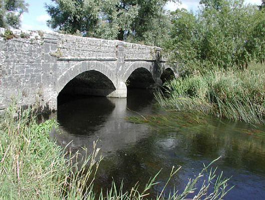 Cabragh Bridgebridge · 1235 yd
 Corn Mill (in ruins)Water mill, unclassified · 1272 yd
 Castle (in ruins)Bawn · 1596 yd
 Beakstown HouseCastle, unclassified · 1660 yd
 Cormackstown Heritage CentreMuseum · 1663 yd
 Wildlife CorridorWood · 1.7 mi
 Lár na PáirceMuseum · 2.0 mi
 WoodlandWood · 2.0 mi
 Killough Hill (site of)Mountain / peak · 3.5 mi
 Horse and JockeyVisitor information · 5.1 mi