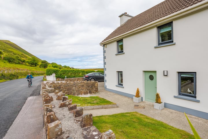
What is recorded here
Listed in the SMR (1992) as an enclosure and in the RMP (1998) as an enclosure possible site based on aerial photographs (GSI R. 124/3) taken in 1974. Field inspection in 1995 established that there are no surface remains visible.
Compiled by: Jean Farrelly and Caimin O'Brien
Date of upload/revision: 22 September 2008
The monument record does not grant public access. Check the route and ask the landowner before entering private land.
- What survives
- Recorded monument
Places near here
 Ballynavin Br.Bridge · 205 yd
 KilnKiln, lime · 383 yd
 Enclosure in CrottaEnclosure · 489 yd
 Bawn in CloghkeatingBawn · 1253 yd
 Drumnamahane CastleCastle · 1.0 mi
 Sweathouse in Mertonhall,cloghkeatingSweathouse · 1.0 mi
 Knockanacree WoodForest · 2.5 mi
 Borris WoodWood · 3.0 mi
 MacDonagh HouseMemorial · 3.1 mi
 Thomas MacDonagh Heritage CentreMuseum · 3.1 mi
 James Devaney MemorialMemorial · 6.0 mi
 Gibbet HillMountain / peak · 10 mi
Other information
Photo: Credit not shown in the picture search · Rights wording not checked; contact us if this picture should be removed